
Search Results
Displaying:
1741 - 1760 of 4046
Landmark Solutions
Organization
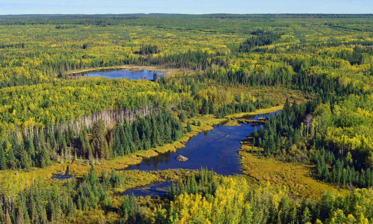
Landowner Guide to the Alberta Wetland Policy
Resource
The Landowner Guide to the Alberta Wetland Policy helps landowners understand their rights and responsibilities when working in and around wetlands on their farm or ranch under Alberta’s Wetland...

Landsat Assessment of Variable Spectral Recovery Linked to Post-fire Forest
Resource
Forest disturbances such as wildfires can dramatically alter forest structure and composition, increasing the likelihood of ecosystem changes. Up-to-date and accurate measures of post-disturbance...

Landscape Context is More Important than Wetland Buffers for Farmland Amphibians
Resource
This resource is available on an external database and may require a paid subscription to access it. It is included on the CCLM to support our goal of capturing and sharing the breadth of all...
Landscape Features and Caribou Harvesting During Three Decades in Newfoundland
Resource
This resource is available on an external database and may require a paid subscription to access it. It is included on the CCLM to support our goal of capturing and sharing the breadth of all...

Landscape Projections on Boreal Caribou Habitat in NWT
Resource
To meet federal Recovery Strategy objectives, the Government of the Northwest Territories, Environment and Natural Resources Department (GNWT-ENR) is developing a set of regional plans to demonstrate...

Landscape Treatment Process Flowchart: Landscape
Resource
This flowchart outlines each step of the treatment process for forest land (upland) landscape as incorporated in the corresponding Decision Support Systems (DSS). View more tools by NAIT Centre for...
Landscape Treatment Process Flowchart: Soil
Resource
This flowchart outlines each step of the treatment process for forest land (upland) soil as incorporated in the corresponding Decision Support Systems (DSS). View more tools by NAIT Centre for Boreal...
Landscape Treatment Process Flowchart: Vegetation
Resource
This flowchart outlines each step of the treatment process for forest land (upland) vegetation as incorporated in the corresponding Decision Support Systems (DSS). View more tools by NAIT Centre for...

Land-use Planning Following Resource Extraction – Lessons from Grizzly Bears at Reclaimed and Active Open Pit Mines
Resource
Following closure, access management on designated trails will reduce risk of conflicts. Imposing access restrictions, preserving undisturbed habitat patches and restoring original vegetation

Large Animal Models for Chronic Wasting Disease
Resource
Chronic wasting disease (CWD) is a fatal neurodegenerative prion disease of cervid species including deer, elk, moose and reindeer. The disease has shown both geographic and species expansion since...
Large Herbivores Facilitate the Persistence of Rare Taxa Under Tundra Warming
Resource
Ecological rarity, characterized by low abundance or limited distribution, is typical of most species, yet our understanding of what factors contribute to the persistence of rare species remains...
Large Scale Mapping of Soil Organic Carbon Concentration with 3D Machine Learning and Satellite Observations
Resource
Canada has extensive forests and peatlands that play key roles in global carbon cycle. Canadian soils and peatlands are assumed to store approximately 20% of the world’s soil carbon stock. However...

Large Stocks of Peatland Carbon and Nitrogen are Vulnerable to Permafrost Thaw
Resource
Northern peatlands have accumulated large stocks of organic carbon (C) and nitrogen (N), but their spatial distribution and vulnerability to climate warming remain uncertain. Here, we used machine...
Large-scale Prion Protein Genotyping in Canadian Caribou Populations and Potential Impact on Chronic Wasting Disease Susceptibility
Resource
Here, we report the prevalence and distribution of R. tarandus prion protein polymorphisms obtained from 986 caribou samples from BC, Yukon, NT, Nunavut and Saskatchewan
Large-scale Probabilistic Identification of Boreal Peatlands Using Google Earth Engine, Open-access Satellite Data, and Machine Learning
Resource
The resulting peatland occurrence model shows an accuracy of 87% compared to our validation data set. Differentiating peatlands from mineral wetlands achieved an accuracy of 69%.
