
Search Results
Displaying:
1 - 4 of 4
Shrub Changes with Proximity to Anthropogenic Disturbance in Boreal Wetlands Determined Using Bi-temporal Airborne LiDAR in the Oil Sands Region, Alberta Canada
Resource
Bi-temporal LiDAR data used to identify correspondence between density of anthropogenic disturbances, wetland shape complexity and changes in vegetation height within >1800 wetlands near Fort McKay

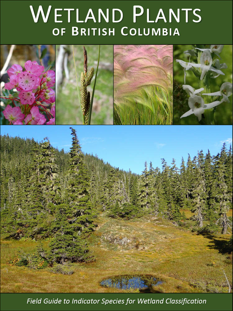
Wetland Plants of British Columbia: Field Guide to Indicator Species for Wetland Classification
Resource
The Wetland Plants of British Columbia is an introduction to the common indicator wetlands species that are used to classify ecosystems using the provincial Biogeoclimatic Ecosystem Classification...
Wetlands for Wellbeing: Piloting a Nature-Based Health Intervention for the Management of Anxiety and Depression
Resource
Abstract Nature-based health interventions (NBIs) for the treatment of poor mental health are becoming increasingly common, yet evidence to support their effectiveness is lacking. We conduct a pilot...
