
Search Results
Displaying:
1 - 15 of 15
Biogeochemical Response to Vegetation and Hydrologic Change in an Alaskan Boreal Fen Ecosystem
Resource
Boreal peatlands store approximately one third of the earth’s terrestrial carbon, locked away in currently waterlogged and frozen conditions. Peatlands of boreal and arctic ecosystems are affected...

Canadian Wetland Inventory Activities in the Prairie and Boreal Regions of Canada
Event
Event Date and Time
August 30th, 2023 at 2:00pm EST to August 30th, 2023 at 3:00pm EST
Contact
Organization
The Wetland Mapping Consortium (WMC), founded in 2008, is an interdisciplinary group of wetland scientists and managers interested in mapping and monitoring wetlands with remotely sensed images and/or...

Constructed Wetland Pilot Project at the Strachan Gas Plant
Resource
A pilot scale constructed wetland was built at the Strachan Gas Plant to evaluate its ability to treat dissolved phase hydrocarbons in groundwater. The overall objective was to assess the feasibility...

Disturbance Zones of Influence on Boreal Songbird Communities in Northeastern Alberta
Resource
Canada’s boreal forest is important habitat for many North American birds, which play a vital role in the health of forests, and provide ecosystem services. Expanding human development in northern...

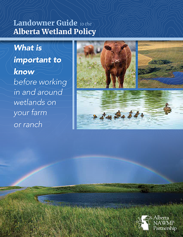
Landowner Guide to the Alberta Wetland Policy
Resource
The Landowner Guide to the Alberta Wetland Policy helps landowners understand their rights and responsibilities when working in and around wetlands on their farm or ranch under Alberta’s Wetland...

Linear Features, Forestry and Wolf Predation of Caribou and Other Prey in West Central Alberta
Resource
The primary goal of this research was to determine how human activities affect caribou population dynamics through modification of predator‐prey relationships. This knowledge can then be used to...

NEW GUIDE: Alberta NAWMP releases the Landowner Guide to the Alberta Wetland Policy
News
Organization
The Landowner Guide to the Alberta Wetland Policy helps landowners understand their rights and responsibilities when working in and around wetlands on their farm or ranch under Alberta’s Wetland...
Peat Loss Collocates with a Threshold in Plant–Mycorrhizal Associations in Drained Peatlands Encroached by Trees
Resource
Drainage-induced encroachment by trees may have major effects on the carbon balance of northern peatlands, and responses of microbial communities are likely to play a central mechanistic role. We...

Review of Revegetation Practices for Oil and Gas Disturbances in Western Canada
Resource
Various methods have been developed and used to revegetate sites disturbed by oil and gas activities in Western Canada. Considerable information describing these methods and their effectiveness exists...

Scaling Up the Role of Predation in Caribou Declines in West-Central Alberta (Redwillow, Narraway, Redrock Prairie Creek, A la Pêche and Little Smoky Ranges)
Resource
Anthropogenic disturbances contribute to the way animals perceive and respond to their environment. These multiple disturbances can additionally act in non-independent ways to shape an animal’s...

Scaling Up the Role of Predation in Caribou Declines in West-Central Alberta (Redwillow, Narraway, Redrock Prairie Creek, A la Pêche and Little Smoky Ranges). 2012 AUPRF project status update
Resource
Avoidance by caribou and increased wolf predation risk in disturbed areas indicate functional habitat loss for caribou, yet these patterns alone do not necessarily imply a demographic impact. Spatial...

Scaling Up the Role of Predation in Caribou Declines in West‐Central Alberta (Redwillow, Narraway, Redrock Prairie Creek, A la Pêche and Little Smoky Ranges). Interim Report
Resource
Our primary goal is to address the relative contributions of forestry and oil and gas production to the decline of caribou populations. This knowledge can then be used to develop appropriate...

The Third Generation of Pan-Canadian Wetland Map at 10 m Resolution Using Multisource Earth Observation Data on Cloud Computing Platform
Resource
Development of the Canadian Wetland Inventory Map (CWIM) has thus far proceeded over two generations, reporting the extent and location of bog, fen, swamp, marsh, and water wetlands across the country...