
Search Results
Displaying:
21 - 40 of 267
Community-level Modelling of Boreal Forest Mammal Distribution in an Oil Sands Landscape
Resource
This resource is available on an external database and may require a paid subscription to access it. It is included on the CCLM to support our goal of capturing and sharing the breadth of all...

Creating a Detailed Wetland Inventory with Sentinel-2 Time-Series Data and Google Earth Engine in the Prairie Pothole Region of Canada
Resource
Wetlands in the Prairie Pothole Region (PPR) of Canada and the United States represent a unique mapping challenge. They are dynamic both seasonally and year-to-year, are very small, and frequently...

Decreased Carbon Accumulation Feedback Driven by Climate‐Induced Drying of Two Southern Boreal Bogs over Recent Centuries
Resource
This resource is available on an external database and may require a paid subscription to access it. It is included on the CCLM to support our goal of capturing and sharing the breadth of all...

Duck Doctors - There's A Duck Nest In My Yard. What Should I Expect And What Should I Do?
Resource
Where do ducks nest? Often in natural habitat—but sometimes in yards and cities! What should you do if a duck nests in your yard? And what should you expect? In this episode of Duck Doctors, DUC...

Duck Doctors - What Do Ducks Eat?
Resource
What's on the menu for wild ducks? Many different things, actually, depending on factors like species and the time of year. We receive many questions about what ducks eat, and if it's okay to feed...
Duck Doctors - Why Do Some Ducks Stay North In The Winter?
Resource
Have you noticed that not all ducks fly south during fall migration? We receive many questions about why some waterfowl stay in Canada and why they aren’t bothered by the cold. In this episode of Duck...
Duck Settling and Breeding Success in Landscapes Fragmented by Linear Features
Resource
This research poster discusses a study of linear feature impacts on settling and breeding of ducks in Alberta. Presented at the NAIT 7th Seminar on Linear Disturbance Impacts on Boreal Wetland...

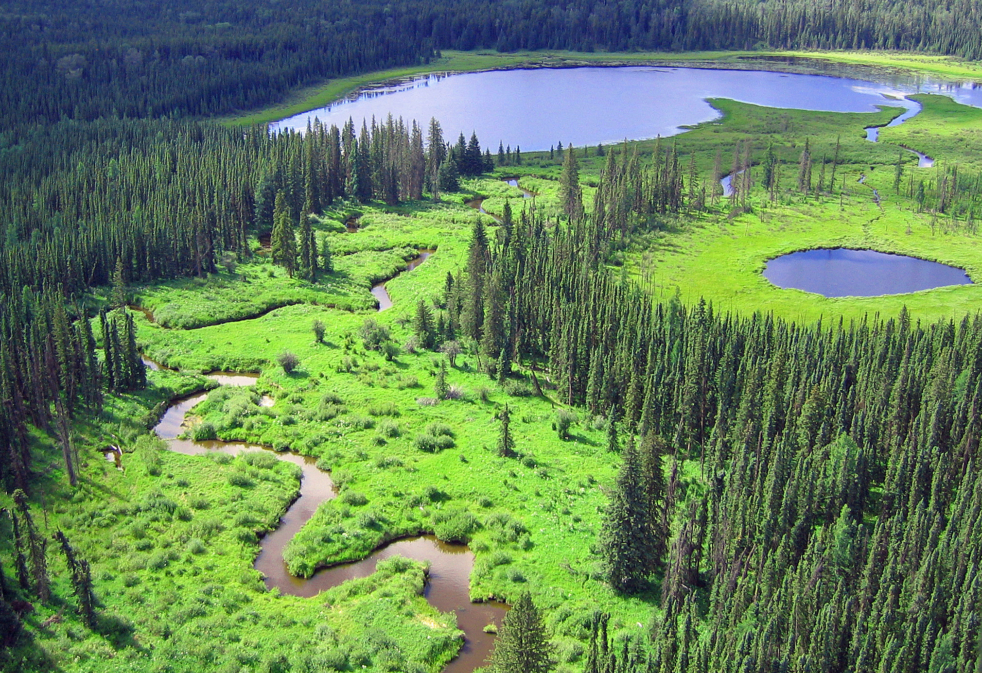
Ducks Unlimited Canada Enhanced Wetland Classification and Mapping
Resource
This presentation provides an overview of the Ducks Unlimited Canada Enhanced Wetland Classification System, including current and potential uses for wetland conservation and management.
Effects of Agriculture and Climate Change on Prairie Wetlands
Resource
The Alberta Biodiversity Monitoring Institute (ABMI), InnoTech Alberta, and Ducks Unlimited Canada have partnered on a four-year project to better understand linkages between wetland health and...

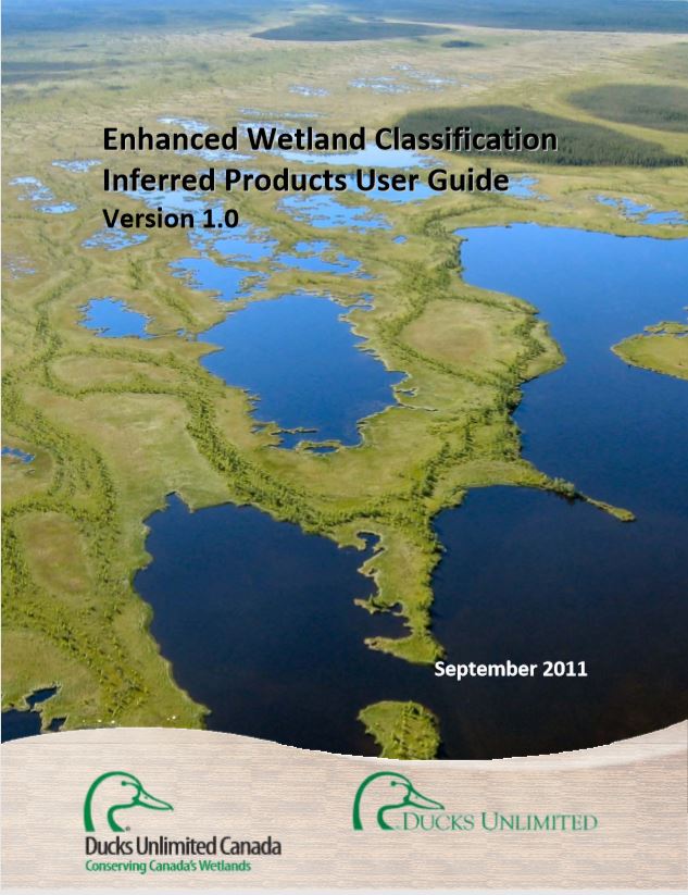
Enhanced Wetland Classification Inferred Products User Guide
Resource
Ducks Unlimited Canada has been leading the effort to provide detailed and accurate wetland maps for large areas of the western boreal forest. These mapping products have become the cornerstone of DUC...
Environmental Spaces for Palsas and Peat Plateaus are Disappearing at a Circumpolar Scale
Resource
The anthropogenic climate change threatens northern permafrost environments. This compromises the existence of permafrost landforms, such as palsas and peat plateaus, which have been assessed to be...
Examining Drivers of Post-Fire Seismic Line Ecotone Regeneration in a Boreal Peatland Environment
Resource
Seismic lines are the dominant anthropogenic disturbance in the boreal forest of the Canadian province of Alberta, fragmenting over 1900 km 2 of peatland areas and accounting for more than 80% of all...
Factors Affecting Abundance of Beaver Dams in Forested Landscapes
Resource
This resource is available on an external database and may require a paid subscription to access it. It is included on the CCLM to support our goal of capturing and sharing the breadth of all...
February 2024 Wetland Knowledge Exchange Webinar
Resource
Methylmercury production and export in permafrost peatland catchments of the Taiga Plains Lauren Thompson, University of Alberta Ongoing permafrost thaw in northern peatland catchments may increase...

Field Guide of Boreal Wetland Classes in the Boreal Plains Ecozone of Canada
Resource
This plain language operational field guide helps resource managers identify wetlands in the field. It includes five major wetlands classes and 19 minor classes. Project partners include Ducks...

Forest Inventory Maps: A Useful Tool for a Wetland Classification and Regionalisation in Quebec's Forests
Resource
Forest inventory maps can be used to quantify the area of wetland habitats and to define homogeneous regions in this regard, and therefore provide a functional tool for coarse-scale wetland management
