
Search Results
Displaying:
21 - 40 of 48
Large Scale Mapping of Soil Organic Carbon Concentration with 3D Machine Learning and Satellite Observations
Resource
Canada has extensive forests and peatlands that play key roles in global carbon cycle. Canadian soils and peatlands are assumed to store approximately 20% of the world’s soil carbon stock. However...

On the Marginal Value of Swimming in Woodland Caribou
Resource
During fieldwork on 30 May 2017, we observed an unmarked adult male caribou swim between two smaller islands, a distance of 470 m, which took approximately 9 minutes. Given that swimming is...

On the Role of Peat Bogs as Components of Indigenous Cultural Landscapes in Northern North America
Resource
This article explores uses of peat bogs and associated plants and other resources by drawing on the published ethnobotanical and archeological literature pertaining to Indigenous groups that lived and...
Proposal for a Conservation Agreement under s.11 of the Species at Risk Act: Woodland Caribou (Boreal population)
News
Organization
A proposal for a bilateral conservation agreement between Ontario and Canada to support boreal caribou protection and recovery under section 11 of the federal Species at Risk Act is now available for...
Relationships between Rangifer and Indigenous Well-being in the North American Arctic and Subarctic: A Review Based on the Academic Published Literature
Resource
This resource is available on an external database and may require a paid subscription to access it. It is included on the CCLM to support our goal of capturing and sharing the breadth of all...
Report on the Progress of Recovery Strategy Implementation for the Woodland Caribou (Rangifer tarandus caribou), Boreal Population, in Canada for the Period 2012-2017
Resource
This Progress Report was prepared by Environment and Climate Change Canada (ECCC), where the purpose of this Progress Report is to fulfill a legal obligation by providing Canadians with a summary of...


“The Caribou Taste Different Now": Inuit Elders Observe Climate Change
Resource
In full colour with photos of the 145 contributing Inuit elders, “The Caribou Taste Different Now” grounds the discussions, debates, and discourses about climate change to material and everyday life in the contemporary Canadian Arctic.

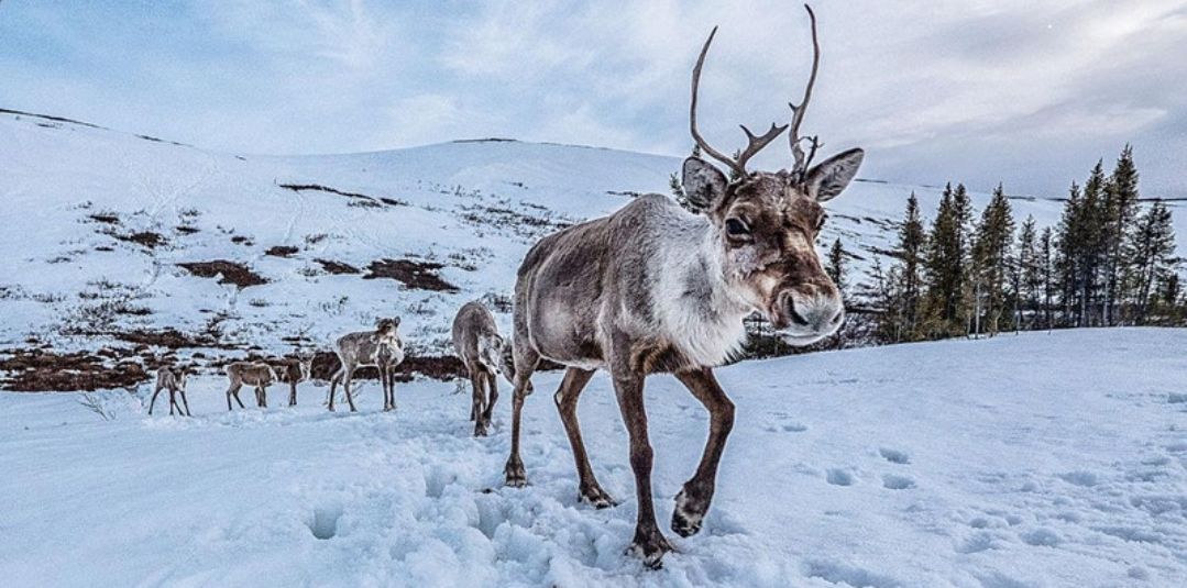
The Government of Canada supports Dene Nation initiative to help conserve boreal caribou
News
Organization
News release July 15, 2021 – Yellowknife, Northwest Territories The Government of Canada is committed to partnering with Indigenous peoples to protect ecosystems, species, and cultures for a healthier...
The Impacts of Climate and Social Changes on Cloudberry (Bakeapple) Picking: A Case Study from Southeastern Labrador
Resource
Abstract The traditional subsistence activities of Indigenous communities in Canada's subarctic are being affected by the impacts of climate change, compounding the effects of social, economic and...

The Influence of Uranium Mine Tailings on Tree Growth at Elliot Lake, Ontario
Resource
A four year study has been carried out to determine the ability of coniferous trees to aid in the reclamation of uranium tailings at Elliot Lake. Five species were planted: white cedar, white spruce...

The Pan-Canadian Approach and Priority Species
Resource
The Pan-Canadian Approach has identified a set of six "priority" species at risk for collaborative action: barren ground caribou; caribou, boreal population; greater sage grouse; Peary caribou...
The Potential of Carbon Nanoparticles as a Stimulant to Improve the Propagation of Native Boreal Forest Species: A Mini-Review
Resource
Boreal forests across Canada and other geographic areas globally have vast networks or densities of seismic lines, pipelines, access roads, utility corridors, and multipurpose trails collectively termed “linear disturbances” or “linear features.”
The Potential of Rock Dust Nanoparticles to Improve Seed Germination and Seedling Vigor of Native Species: A Review
Resource
Land degradation as a result of unregulated mineral exploration and mining, negatively impacts local communities and vulnerable ecosystems.
The Third Generation of Pan-Canadian Wetland Map at 10 m Resolution Using Multisource Earth Observation Data on Cloud Computing Platform
Resource
Development of the Canadian Wetland Inventory Map (CWIM) has thus far proceeded over two generations, reporting the extent and location of bog, fen, swamp, marsh, and water wetlands across the country...