
Search Results
Displaying:
1 - 20 of 242
A Caribou Decline Foreshadowed by Inuit in the Central Canadian Arctic: A Retrospective Analysis
Resource
The Dolphin and Union (DU) caribou herd ( Rangifer tarandus groenlandicus x pearyi), locally referred to as Island caribou, is a unique and at-risk ecotype of caribou that ranges on Victoria Island...

A Field Guide to the Wetlands of the Boreal Plains Ecozone of Canada
Resource
This guide provides an in-depth look at Ducks Unlimited Canada's (DUC) remote-sensing satellite mapping efforts and the development of the DUC enhanced wetland classification system.

Alberta Wetland Classification System Field Guide
Resource
The Alberta Wetland Classification System Field Guide is a visual, plain-language field guide for identifying and classifying wetlands based on the Alberta Wetland Classification System (AWCS). The...

April 2024 Wetland Knowledge Exchange Webinar - Recording
Resource
Boreal peatland restoration through partial removal of an oil and gas well pad Murdoch McKinnon, University of Waterloo Peatlands cover over 30% of the landscape on Canada’s Western Boreal Plains...

Benefits of Fertilization for White Spruce and Lodgepole Pine Trees Depend on the Reclamation Substrate – Overburden vs Tailings Sand
Resource
Nitrogen and complete fertilizer applications improved growth of white spruce on overburden sites. Fertilization did not, however, have an effect on lodgepole pine growth on tailings sand sites

Boreal Trees Can Grow on Saline Sites – Implications for Reclamation Success on Saline Soils
Resource
Both aspen and spruce grew on sites with very high salinity and pH deeper in the soil profile (i.e., 40-100cm), so long as surface soils were not highly saline and had adequate moisture and nutrients.

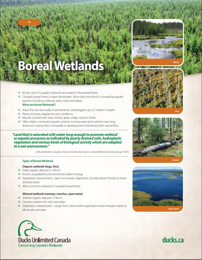
Boreal Wetland Factsheets
Resource
These fact sheets highlight plant, soil, and water indicators and key ecological benefits of each of the five major wetlands types.
Boreal Wetlands and Waterfowl: A Commitment to Stewardship Activities in Manitoba
Resource
Ducks Unlimited Canada (DUC) initiated the Western Boreal Program in 1997 with an understanding that working with forward thinking forest industry partners was key to advancing wetland conservation in...

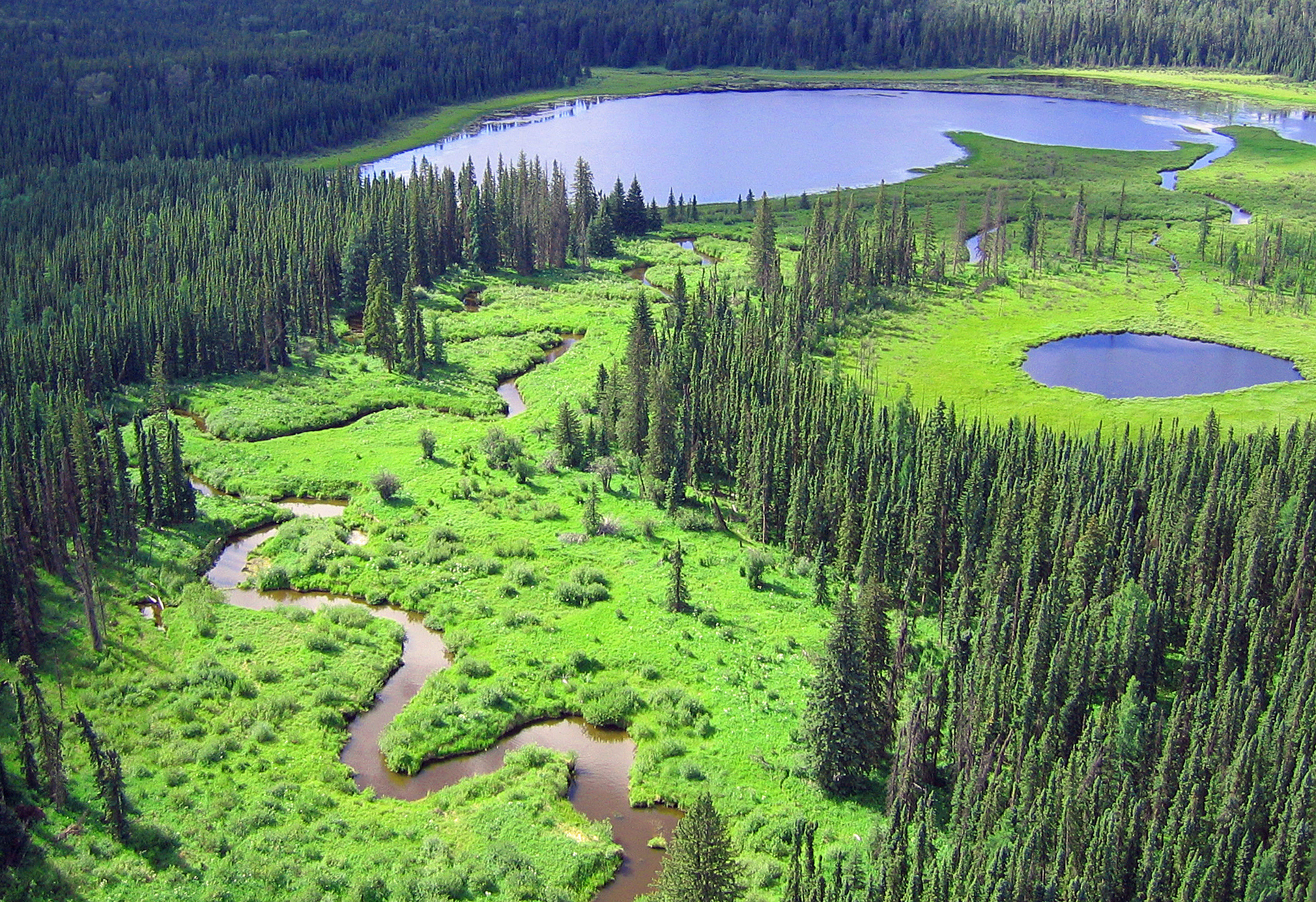
Boreal Wetlands of Canada and the United States of America
Resource
The Canadian and Alaskan boreal zone is one of the most water rich areas in the world, and contains an estimated combined surface water and peatland area the size of Indonesia (∼1.94 million km2)...
Building Better Crossings: Incorporating Wetland Knowledge into Road Planning and Construction
Resource
This research poster gives an overview of the relationship between roads and wetland flow, discusses tips and tools for planning and outlines a case study of developed crossings. Presented at the NAIT...

Canadian Fieldwork Applications
Resource
Did you know that you can learn to identify and report invasive species, measure trees, and become a citizen scientist all at the touch of your smartphone? Check out this list of free, Canadian field...

Coarse Woody Debris Increases Microbial Functional Diversity in Reclaimed Soils
Resource
Forest floor mineral soil mix had significantly greater soil microbial functional diversity than peat mineral soil mix. CWD increased microbial biomass and microbial functional diversity in both soil

Continental Synchrony and Local Responses: Climatic Effects on Spatiotemporal Patterns of Calving in a Social Ungulate
Resource
Warming temperatures and advancing spring are affecting annual snow and ice cycles, as well as plant phenology, across the Arctic and boreal regions. These changes may be linked to observed population...
COSIA In-Situ Oil Sands Shared Practices for Working in and Around Wetlands
Resource
This report compiles a toolbox of shared practices currently in use by COSIA companies, or which have been used but were found to be unsuccessful.

Creating a Detailed Wetland Inventory with Sentinel-2 Time-Series Data and Google Earth Engine in the Prairie Pothole Region of Canada
Resource
Wetlands in the Prairie Pothole Region (PPR) of Canada and the United States represent a unique mapping challenge. They are dynamic both seasonally and year-to-year, are very small, and frequently...
