Wetlands Knowledge Search Results
Resource
Authors
Dale Vitt
Melissa House
Lilyan Glaeser
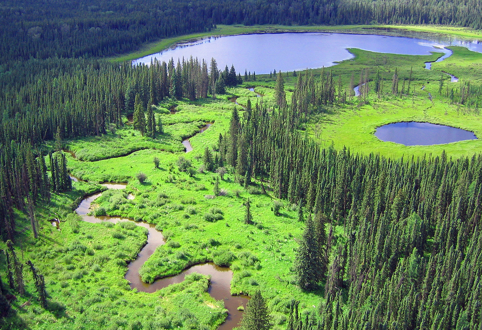
Minerogenous peatlands that accumulate deep deposits of organic matter (fens) were an important part of the pre-disturbance landscape across Alberta’s oil sands mining area. Bryophytes occupy 80–100%...
Resource
Authors
Richard Krygier
Dave Larsen
Resource Date:
January
2016
The SEEDS project objective is to develop and test a seed delivery technology that improves emergence and early establishment of native plants for the reclamation of disturbed boreal forest sites.
Resource
As Canadians, our forests permeate our lives, and Canada’s forest sector is an essential economic engine and major employer of Canadians, including in Indigenous and rural communities. The theme of...
Resource
Authors
Sophie Wilkinson
Gregory Verkaik
Paul Moore
Mike Waddington
Resource Date:
October
2019
This resource is available on an external database and may require a paid subscription to access it. It is included on the CCLM to support our goal of capturing and sharing the breadth of all...
Resource
Resource Date:
August
2020
This document is part of the 360 tours project Toolkit developed by Canada's Oil Sands Innovation Alliance (COSIA) led by Cenovus Energy Inc., in collaboration with Natural Resources Canada. The...
Resource
Authors
Angelo Filicetti
Scott Nielsen
This resource is available on an external database and may require a paid subscription to access it. It is included on the CCLM to support our goal of capturing and sharing the breadth of all...
Resource
Authors
Robert Serrouya
Melanie Dickie
Clayton Lamb
Harry van Oort
Allicia Kelly
Craig DeMars
Philip McLoughlin
Nicholas Larter
Dave Hervieux
Adam Ford
Stan Boutin
Resource Date:
January
2021
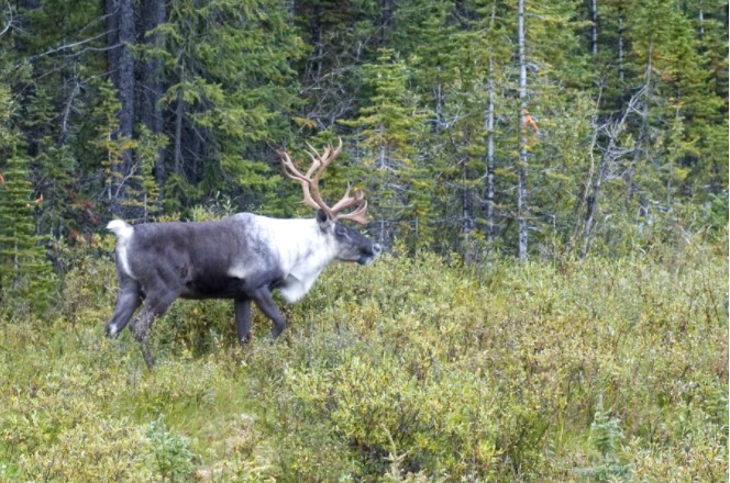
Conservation actions directed at the proximate cause of caribou decline have been more successful in the near term than those directed further along the trophic chain.
Resource
Authors
Katherine Dearborn
Jennifer Baltzer
Resource Date:
March
2021
This resource is available on an external database and may require a paid subscription to access it. It is included on the CCLM to support our goal of capturing and sharing the breadth of all...
Resource
Authors
Spencer Chad
Lee Barbour
Jeffrey McDonnell
John Gibson
Water samples were collected and analyzed regularly over an eight-year period to establish inventories of site-wide water isotope signatures including seasonal and interannual changes in the recycle...
Resource
Authors
Emma Bocking
David Cooper
Johnathan Price
Resource Date:
November
2017
This resource is available on an external database and may require a paid subscription to access it. It is included on the CCLM to support our goal of capturing and sharing the breadth of all...
Resource
Authors
Laureen Echiverri
Ellen Macdonald
Resource Date:
September
2019
For the purpose of informing biodiversity conservation efforts in managed landscapes, we explored whether and how understory plant communities (abundance, diversity, composition) were related to a...
Resource
Authors
Tegan Holmes
Tricia Stadnyk
Masoud Asadzadeh
John Gibson
This study evaluates whether combined use of streamflow and isotope tracer performance metrics can improve representation of simulated streamflow-generating processes within a large river basin, the...
Resource
Seismic lines are slow to recover naturally, and many seismic lines need to be restored to contribute towards caribou recovery. Caribou predators use seismic lines to travel throughout caribou ranges...
Resource
Field data on the abundance (or percent cover) of vascular plants, bryophytes, and soil mesofauna were obtained in the summer of 2008 and 2009 from nine produced water release sites in Alberta and...
Resource
Resource Date:
November
2020
The Vermillion River watershed region, found in central Alberta between Edmonton and Lloydminster, is home to residents and farmers who rely on the watershed for drinking water, agriculture, and...
Resource
Resource Date:
January
2016
With over 75 years of experience and activity in every province and territory, Ducks Unlimited Canada (DUC) is a registered charity and a recognized leader in wetland conservation. DUC is a science...
Resource
Dr. Richard McCleary draws the links between what we see in the field to the maps we have for planning and points out that the information we need for watershed assessment and riparian zones is the same.
Resource
This presentation discusses the need for a multi-level classification for boreal wetlands and accurate change detection.
Resource
This presentation discusses the Alberta water extent monitoring pilot study, with the goal to create a database that has the potential for implementation at a provincial level.
Resource
This talk summarizes the progression of water law and water rights policy in Western Canada and provides some possible solutions for current and emerging challenges.