Wetlands Knowledge Search Results
Resource
Authors
Brenda Parlee
John Sandlos
David Natcher
Resource Date:
February
2018
The paper describes a “tragedy of open access” occurring in Canada’s north as governments open up new areas of sensitive barren-ground caribou habitat to mineral resource development. A growing body of science and traditional knowledge research points to the adverse impacts of resource development; however, management efforts have been almost exclusively focused on controlling the subsistence harvest of northern Indigenous peoples.
Resource
Authors
Anantha Prasad
John Pedlar
Matthew Peters
Steve Matthews
Louis Iverson
Dan McKenney
Bryce Adams
This book chapter addresses how future forests will be shaped, in large part, by tree responses to climate change via mortality, migration, and adaptation. The authors first demonstrate the strong...
Resource
Authors
L.M. Hachey
Audrey Lanoue
The focus of this paper is the development of a physically sound three-dimensional model of the final closure landscape for the 2011 Life of Mine Closure submission
Resource
Authors
William Wadsworth
Ave Dersch
Robin Woywitka
Kisha Supernant
The Athabasca Oil Sands (AOS) region of Alberta has one of the densest accumulations of known archaeological sites, and possibly the most archaeological sites at risk, in the country. Expanding...
Resource
Authors
Spencer Chad
Lee Barbour
Jeffrey McDonnell
John Gibson
Water samples were collected and analyzed regularly over an eight-year period to establish inventories of site-wide water isotope signatures including seasonal and interannual changes in the recycle...
Resource
Authors
Antoine Karam
Louis Azzaria
Les résidus miniers utilisés dans la présente étude proviennent de douze sites d'échantillonnage couvrant l'ensemble du parc à résidus miniers East Sullivan. Ces échantillons ont été intimement...
Resource
Authors
Laureen Echiverri
Ellen Macdonald
Resource Date:
September
2019
For the purpose of informing biodiversity conservation efforts in managed landscapes, we explored whether and how understory plant communities (abundance, diversity, composition) were related to a...
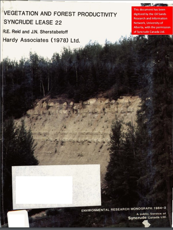
Resource
Authors
Dave Reid
Jim Sherstabetoff
Eleven major vegetation types were identified and are mapped at a scale of 1:20 000 on the eastern portion of Syncrude Lease 17.
Resource
Review of provides basis for evaluating the current progress regarding vegetation descriptions in this area and for designing certain future vegetation studies.
Resource
Authors
Everett Peterson
Allan Levinsohn
Black Spruce - Labrador Tea was the dominant vegetation type, making up 35.0% of the 9,250 ha study area. The 2nd most abundant type was Aspen - White Spruce (26.0%) and the 3rd was White Spruce – Asp
Resource
Resource Date:
November
2020
The Vermillion River watershed region, found in central Alberta between Edmonton and Lloydminster, is home to residents and farmers who rely on the watershed for drinking water, agriculture, and...
Resource
Authors
Jack Mercer
Robert Charlton
Imagery from both meteorological and environmental satellite sensor systems was analyzed to determine its applicability in monitoring weather conditions at the Alberta oil sands.
Resource
The presentation describes the development and content of the draft Biodiversity Management Framework for the Lower Athabasca Region
Resource
Lois Boxill is a Senior Geotechnical Engineer with SRK Consulting. She describes the concepts and testing involved in her Ph.D thesis studying how mature fine tailings behave after treatment with...
Resource
The various applications of Ducks Unlimited Canada’s wetland inventories play a critical role in wetland conservation. They serve as key planning tools, helping people who live and work in the boreal...
Resource
Authors
Nicholas Beier
Dave Sego
Norbert Morgenstern
Dr. Nicholas Beier is a Research Associate with the Oil Sands Tailings Research Facility, University of Alberta, Edmonton, Alberta. He describes his doctoral thesis research using tailings management...
Resource
Video tutorial that lays out the field sampling process for reclaimed wetland assessment from start to finish in easy-to-follow steps and visually clarifies how protocols should be enacted
Resource
In order to protect boreal wetlands, we must first know where they are. This 6-minute video will show you how Ducks Unlimited Canada uses satellite data and remote sensing techniques to map wetlands...
Resource
Authors
Ruijun Sun
Jianmin Kan
Alexandre Goldszal
Ruijun Sun is a Senior Research Engineer with the Saskatchewan Research Council (SRC), Saskatoon, Saskatchewan. Ruijun Sun describes a new way to optimize the capture of oil sands clay fines in sand...
Resource
Authors
Aseniwuche Winewak Nation
A brief video outlining what the Caribou Patrol Program does, who we are and how we came to be.