Wetlands Knowledge Search Results
Resource
Authors
Tyler Rudolph
Pierre Drapeau
Louis Imbeau
Vincent Brodeur
Sonia Legare
Martin-Hugues St-Laurent
Resource Date:
January
2017
This resource is available on an external database and may require a paid subscription to access it. It is included on the CCLM to support our goal of capturing and sharing the breadth of all...
Resource
Authors
Marvin Nyborg
Ross Parker
Sam Takyi
Paul Yeung
Several field investigations were carried out to determine the amounts of sulphur deposited in rain, in rain washing off trees, and by direct absorption of SO2 by soil
Resource
Authors
Bruce Runge
Alan Kennedy
Margaret Mears
Esso Resources Canada Ltd (Esso) operates an oil sands production project at Cold Lake, Alberta that produces approximately 14,000 m3/day of bitumen for the world market. On December 8, 1988 a failure...
Resource
Authors
C. Gaudet
M. Bonnell
Ted Nason
L. Hofmann
There can be little argument that contaminants are now a ubiquitous presence in our environment. Though large-scale efforts to deal with contaminant issues have traditionally focused on water and air...
Resource
Soils sampled at sites 2.3 and 5.3 km south of the Great Canadian Oil Sands (GCOS) plant, Fort McMurray, respectively were found to differ statistically with reference to several macronutrients
Resource
The foothills and mountain regions are extremely varied in soils, vegetation, climate and geology. Oil and gas drilling wastes must be contained ana then dispose □ of, despite of this extreme...
Resource
Authors
Sandra Landsburg
Elizabeth Dwyer
Dissipation of bromacil in Humic Luvic Gleysols amended with cow manure was evaluated at two sites in northwestern Alberta from 1984 to 1987
Resource
Synthesis of the published literature on the habitat preferences of beavers, muskrats, mink and river otters. Field studies during the late autumn of 1978 included aerial surveys and track counts
Resource
348 benthic macroinvertebrate samples collected at 16 sites along 85 km of the Athabasca River between Fort McMurray and the Ells River. total of 27229 specimens belonging to 68 taxonomic groups
Resource
Authors
Jason Clark
Ken Tape
Latha Baskaran
Clayton Elder
Charles Miller
Kimberley Miner
Jonathan O'Donnell
Benjamin Jones
Beaver engineering in the Arctic tundra induces hydrologic and geomorphic changes that are favorable to methane (CH 4) production. Beaver-mediated methane emissions are driven by inundation of...
News
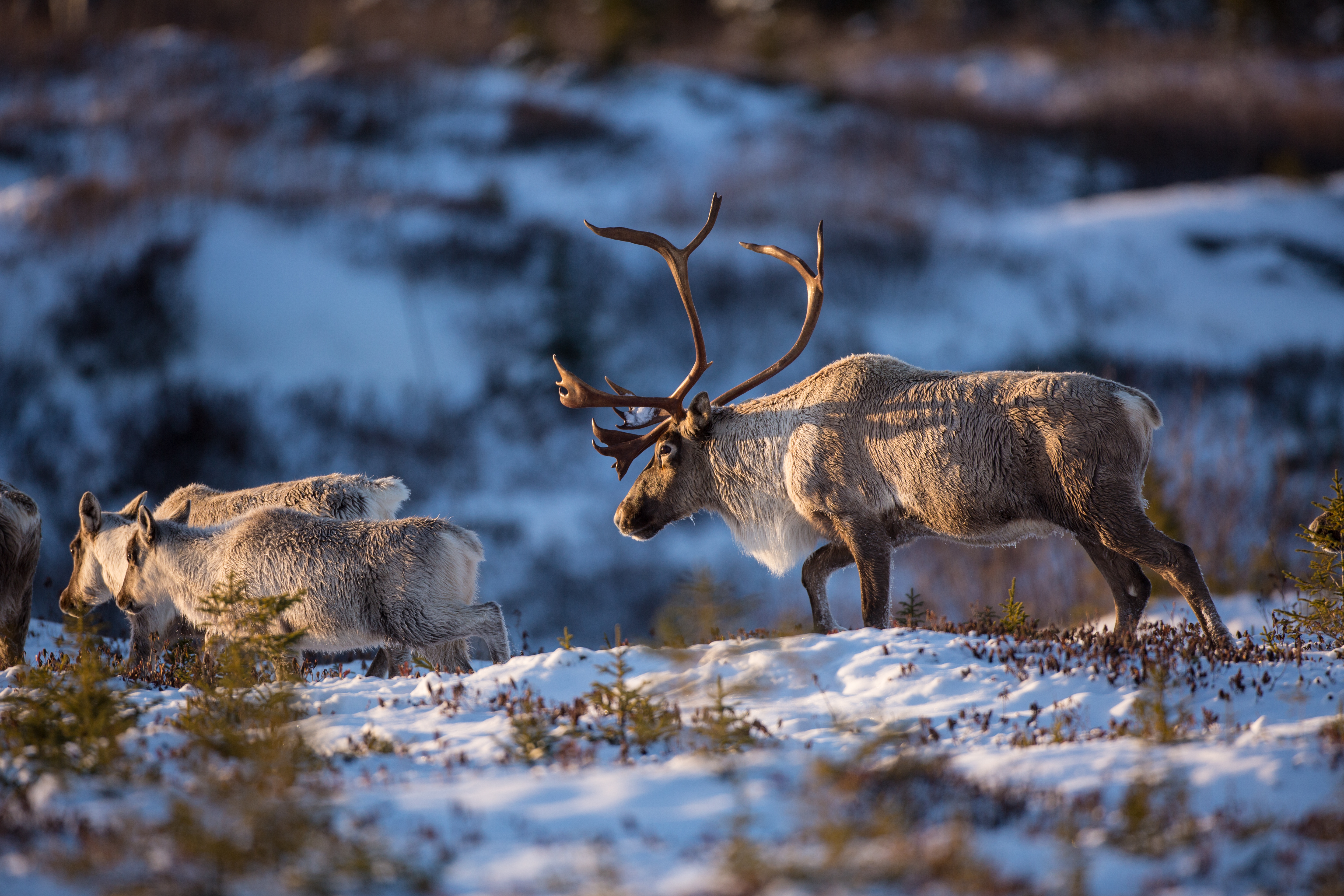
The Nunavut Planning Commission recently released a draft of a land-use plan for the territory which designates caribou calving grounds as protected year-round from industrial activity. Location of...
Resource
Authors
Erinne Stirling
Robert Fitzpatrick
Luke Mosley
Resource Date:
November
2020
This resource is available on an external database and may require a paid subscription to access it. It is included on the CCLM to support our goal of capturing and sharing the breadth of all...
Resource
Resource Date:
January
2016
This presentation provides an overview of the Ducks Unlimited Canada Enhanced Wetland Classification System, including current and potential uses for wetland conservation and management.
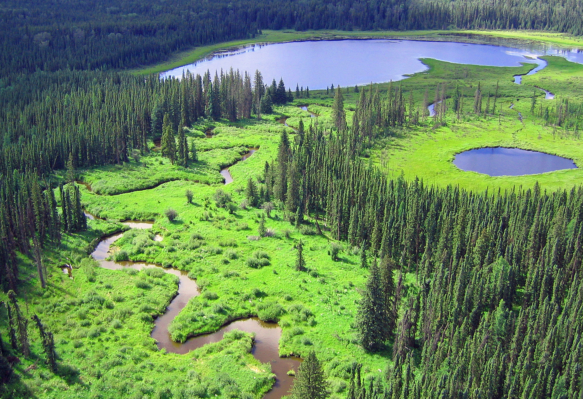
Project
The National Boreal Program of Ducks Unlimited Canada (DUC) has over 20 years of experience working with governments, Indigenous Peoples, and industry to develop comprehensive, science-based solutions...
Resource
Authors
Stephanie Jean
Brad Pinno
Scott Nielsen
Resource Date:
March
2020
Research Highlights: Black spruce ( Picea mariana Mill.) and trembling aspen ( Populus tremuloides Michx.) both regenerated vigorously after wildfire. However, pure semi-upland black spruce stands are...
Resource
Authors
Roger DeAbreu
Shane Patterson
Todd Shipman
Chris Powter
NRCan pilot science projects have proven that Earth Observation can provide relevant and valuable information to inform and enhance monitoring and support regulatory frameworks
Resource
Authors
M.D. Thompson
M.C. Wride
M.E. Kirby
Classification system devised for mapping vegetation and surficial geology from 1:60,000 scale false colour infrared photographs; 1:50 000 base maps plus a vegetation and a surficial geology overlay
Resource
Ground surveys of vegetation and surficial geology generally confirmed that the classification systems used in the mapping accurately described and defined the ecological habitat features
Resource
Describe basic ecology of aquatic benthic macrofauna of the Athabasca River and its major tributaries, the Muskeg and Steepbank rivers
Resource
Authors
Grant Hauer
Vic Adamowicz
Stan Boutin
This resource is available on an external database and may require a paid subscription to access it. It is included on the CCLM to support our goal of capturing and sharing the breadth of all...