Wetlands Knowledge Search Results
Resource
Resource Date:
August
2020
This document is part of the 360 tours project Toolkit developed by Canada's Oil Sands Innovation Alliance (COSIA) led by Cenovus Energy Inc., in collaboration with Natural Resources Canada. The...
Resource
Resource Date:
August
2020
This document is part of the 360 tours project Toolkit developed by Canada's Oil Sands Innovation Alliance (COSIA) led by Cenovus Energy Inc., in collaboration with Natural Resources Canada. The...
Resource
Authors
Kirsten Lees
Tristan Quaife
Rebekka Artz
Myroslava Khomik
Joanna Clark
Resource Date:
February
2015
Peatlands store large amounts of terrestrial carbon and any changes to their carbon balance could cause large changes in the greenhouse gas (GHG) balance of the Earth's atmosphere. There is still much...
Resource
Authors
Brian Eaton
Tyler Muhly
Jason Fisher
Shauna-Lee Chai
Reclaimed mine sites will consist of engineered landforms (including water bodies and waterways); the long-term hydrological and ecological function of those sites may be vulnerable to beaver activity
Resource
Crude average bear density for the AOSERP study area, including water areas, was 0.18 per km2 assuming total avoidance of muskeg areas and 0.25 per km2 assuming use of muskeg
Resource
Authors
David McNabb
Jean-Marie Sobze
Amanda Schoonmaker
Minimizing the footprint of industrial operation on forest lands is an important goal for maintaining the integrity and sustainability of forest species and communities. Industrial operations and...
Resource
Mapping of oil reserves involves the use of seismic lines (linear disturbances) to determine size of reserves. These linear disturbances fragment forests and in many cases fail to regenerate trees...
Resource
Authors
Bonnie Drozdowski
Craig Aumann
Chris Powter
Report of a seminar to develop a collective understanding of the benefits and opportunities of Predictive Soil Mapping as they relate to Alberta
Resource
Modelling results for the regional watersheds were encouraging and demonstrate that SWATBF has the potential to be utilized as a practical tool for conducting hydrologic assessments in the oil sands
Resource
Authors
Heather Tokay
Kevin Renkema
Dean MacKenzie
Chris Powter
Bonnie Drozdowski
Natalie Shelby-James
In 2021, PTAC sought verification of the Guide to Preparing Variance Justifications and stakeholders were asked to apply the document to current sites in their work portfolio.
Resource
Because of the considerable area of peatlands in Alberta, the increasing uses of peatlands for various purposes, and the potential impacts of pollutants, there is concern about the effects on the qual
Resource
Authors
Chantel Markle
Paul Moore
Mike Waddington
Identifying ecosystems resilient to climate and land-use changes is recognized as essential for conservation strategies. However, wetland ecosystems may respond differently to stressors depending on...
Resource
Authors
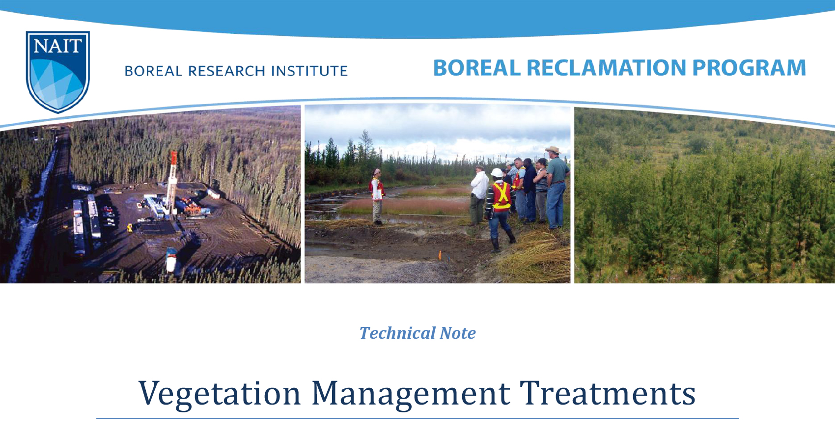
NAIT Centre for Boreal Research
Vegetation management is critical to establishing desirable plant species and to achieving reclamation objectives. This resource is one of four technical notes on vegetation management for reclamation...
Resource
Authors
NAIT Centre for Boreal Research
Vegetation management is critical to establishing desirable plant species and to achieving reclamation objectives. This resource is one of four technical notes on vegetation management for reclamation...
Resource
Upland mesic sites showed a relatively strong ability to regenerate on their own (passive restoration), while lowland (bogs and fens) and upland dry sites were slow to recover.
Resource
Authors
Alberta Biodiversity Monitoring Institute
Boreal caribou populations are declining across Alberta and much of their Canadian range. Key factors causing this decline include a warming climate along with habitat change from industrial...
Resource
Authors
Alberta Biodiversity Monitoring Institute
Seismic lines and other linear features created by humans are thought to negatively impact woodland caribou. It is estimated that there are c. 100,000 km of conventional seismic lines in caribou...
Resource
Authors
Alberta Biodiversity Monitoring Institute
Resource Date:
January
2020
Linear features, including seismic lines, pipelines, transmission lines, roads, railways, and trails are pervasive in Alberta’s boreal forest and have been implicated as a primary factor leading to...
Resource
Authors
Nobuya Suzuki
Katherine Parker
Resource Date:
December
2019
Highlights • Maintain connectivity to preserve high-value habitats of caribou and grizzly bears. • Avoiding predation risk does not always maintain intact habitat for caribou. • Conserving most...
Resource
Authors
Drake Hocking
William MacDonald
The Workshop covered all active research and development projects for reclamation of land disturbances in Alberta. Purpose was to provide communication and discussion of current programs and results