Wetlands Knowledge Search Results
Resource
Objectives of the Twelve Mile Coulee Soil Research Project are to evaluate the impact of pipeline construction on Solonetzic soil quality and salt movement in the Brown soil zone
Resource
Twenty-year growth results reported for a series of trial sites in southeastern British Columbia indicated that interior spruce progeny, regardless of seed origin, grew faster (32%, on average) and...
Resource
Authors
Kim Chapman
Rob Fleming
Nelson Thiffault
Daniel Gouge
Gordon Kayahara
Dave Morris
Wayne Bell
We present an ecological framework for classifying sites to support vegetation management decisions in the boreal and northern temperate forests of northeastern Ontario and northwestern Quebec. This...
Resource
Authors
K.L. Webster
P.W. Hazlett
S.D. Yanni
S.A. Nelson
B.K. Webber
K.H.Y. Chan
F. Norouzian
S.V. Phippen
L’Étude du bassin des lacs Turkey (BLT) est une étude fédérale et interministérielle lancée en 1979 pour analyser les effets des pluies acides sur les écosystèmes terrestres et aquatiques. Le bassin...
Resource
Authors
Amy Nixon
Christopher Shank
Dan Farr
The Biodiversity Management and Climate Change Adaptation project has produced a comprehensive, evidence-based, and original examination of the effects of climate change on Alberta’s biodiversity
Resource
Resource Date:
February
2022
This online article gives a relatively brief overview of the status of wild caribou and reindeer around the circumpolar world.
Resource
Rangifer tarandus (wild reindeer or caribou) is an abundant and widely distributed member of the deer family across the circum-arctic tundra and boreal forests. Rangifer through its sheer numbers has...
Resource
Authors
David Latham
Cecilia Latham
Mark Boyce
Stan Boutin
In this study, we examined seasonal coyote and black bear use of industrial linear features and rivers and streams (i.e. natural linear features). We used two methods to assess movement behavior...
Resource
Understanding how populations are structured and how they use natural and anthropogenic spaces is essential for effective wildlife management. A total of 510 barren-ground ( Rangifer tarandus...
Resource
Authors
L.M. Hachey
Audrey Lanoue
The focus of this paper is the development of a physically sound three-dimensional model of the final closure landscape for the 2011 Life of Mine Closure submission
Resource
Authors
Antoine Karam
Louis Azzaria
Les résidus miniers utilisés dans la présente étude proviennent de douze sites d'échantillonnage couvrant l'ensemble du parc à résidus miniers East Sullivan. Ces échantillons ont été intimement...
Resource
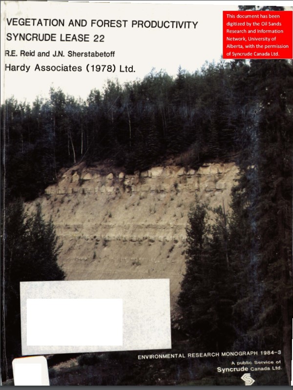
Authors
Dave Reid
Jim Sherstabetoff
Eleven major vegetation types were identified and are mapped at a scale of 1:20 000 on the eastern portion of Syncrude Lease 17.
Resource
Review of provides basis for evaluating the current progress regarding vegetation descriptions in this area and for designing certain future vegetation studies.
Resource
Authors
Everett Peterson
Allan Levinsohn
Black Spruce - Labrador Tea was the dominant vegetation type, making up 35.0% of the 9,250 ha study area. The 2nd most abundant type was Aspen - White Spruce (26.0%) and the 3rd was White Spruce – Asp
Resource
Authors
K.A. Baldwin
Lorna Allen
S. Basquill
K. Chapman
D. Downing
N. Flynn
W. Mackenzie
M. Major
W.J. Meades
D. Meidinger
C. Morneau
J.-P. Saucier
J. Thorpe
Vegetation Zones of Canada: a Biogeoclimatic Perspective maps Canadian geography in relation to regional climate, as indicated by vegetation patterns. Compared to previous similar national-scale...
Resource
Field data on the abundance (or percent cover) of vascular plants, bryophytes, and soil mesofauna were obtained in the summer of 2008 and 2009 from nine produced water release sites in Alberta and...
Resource
Authors
Jack Mercer
Robert Charlton
Imagery from both meteorological and environmental satellite sensor systems was analyzed to determine its applicability in monitoring weather conditions at the Alberta oil sands.
Resource
Authors
M. Johnston
M. Campagna
P. Gray
H. Kope
J. Loo
A. Ogden
G.A. O’Neill
D. Price
T. Williamson
Over the next several decades, the climate in Canadian forests will shift northward at a rate that will likely exceed the ability of individual tree species to migrate. While most tree species can...
Resource
Authors
J. Kristensen
B.S. Ott
A.D. Sekerak
Baseline information on walleye and goldeye populations with respect to the “before conditions” faced by the Athabasca Delta fisheries in view of the present and increased oil sands development
Resource
Authors
Ray Chopiuk
S.E. Thornton
Several foothills/mountain coal mine waste dumps were selected for the purpose of evaluating the effects of final configuration on the amount of surface erosion occurring on those dump surfaces