Land Management Search Results
Resource
Authors
Angelo Filicetti
Scott Nielsen
This resource is available on an external database and may require a paid subscription to access it. It is included on the CCLM to support our goal of capturing and sharing the breadth of all...
Resource
Oil and gas activities in Alberta require disturbing forested lands, among other ecosystems, in order to extract resources. Due to the number of oil and gas sites requiring reclamation, monitoring can...
Resource
Authors
Waverley Birch
MIchael Drescher
Jeremy Pittman
Rebecca Rooney
This resource is available on an external database and may require a paid subscription to access it. It is included on the CCLM to support our goal of capturing and sharing the breadth of all...
Resource
Authors
Natural Resources Canada (NRCan)
Quickly establishing vegetation and achieving reclamation certification are shared objectives of oil and gas operators. While tree planting is clearly advantageous in the predictability of...
Resource
Objectives of the Twelve Mile Coulee Soil Research Project are to evaluate the impact of pipeline construction on Solonetzic soil quality and salt movement in the Brown soil zone
Resource
Authors
Terry Macyk
Zdenek Widtman
Vernon Betts
The Alberta Research Council has conducted a surface mine reclamation research program in association with the operations of Smoky River Coal Ltd. near Grande Cache, Alberta since 1972. The main...
Resource
Authors
Randi Lupardus
Ermias Azeria
Kierann Santala
Isabelle Aubin
Anne McIntosh
Results suggest that even as practices and policies evolve, reclamation does not fully alleviate the legacy effects of industrial disturbance. Trait-based approaches can inform recovery assessment.
Resource
Authors
Brenda Parlee
John Sandlos
David Natcher
Resource Date:
February
2018
The paper describes a “tragedy of open access” occurring in Canada’s north as governments open up new areas of sensitive barren-ground caribou habitat to mineral resource development. A growing body of science and traditional knowledge research points to the adverse impacts of resource development; however, management efforts have been almost exclusively focused on controlling the subsistence harvest of northern Indigenous peoples.
Resource
Authors
L.M. Hachey
Audrey Lanoue
The focus of this paper is the development of a physically sound three-dimensional model of the final closure landscape for the 2011 Life of Mine Closure submission
Resource
Authors
Jennifer Hird
Alessandro Montaghi
Gregory McDermid
Jahan Kariyeva
Brian Moorman
Scott Nielsen
Anne McIntosh
Good statistical agreement between key structural vegetation parameters, such as mean and maximum vegetation height, with PPC metrics successfully predicting most height and tree-diameter metrics.
Resource
Authors
William Wadsworth
Ave Dersch
Robin Woywitka
Kisha Supernant
The Athabasca Oil Sands (AOS) region of Alberta has one of the densest accumulations of known archaeological sites, and possibly the most archaeological sites at risk, in the country. Expanding...
Resource
Authors
Spencer Chad
Lee Barbour
Jeffrey McDonnell
John Gibson
Water samples were collected and analyzed regularly over an eight-year period to establish inventories of site-wide water isotope signatures including seasonal and interannual changes in the recycle...
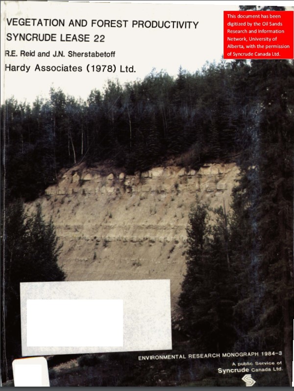
Resource
Authors
Dave Reid
Jim Sherstabetoff
Eleven major vegetation types were identified and are mapped at a scale of 1:20 000 on the eastern portion of Syncrude Lease 17.
Resource
Seismic lines are slow to recover naturally, and many seismic lines need to be restored to contribute towards caribou recovery. Caribou predators use seismic lines to travel throughout caribou ranges...
Project
Project Description:Despite decades of research assessing wildlife response to seismic lines, little is known about the effects of seismic line clearing on the quality of understory forage for...
Resource
Review of provides basis for evaluating the current progress regarding vegetation descriptions in this area and for designing certain future vegetation studies.
Resource
Authors
Everett Peterson
Allan Levinsohn
Black Spruce - Labrador Tea was the dominant vegetation type, making up 35.0% of the 9,250 ha study area. The 2nd most abundant type was Aspen - White Spruce (26.0%) and the 3rd was White Spruce – Asp
Resource
Field data on the abundance (or percent cover) of vascular plants, bryophytes, and soil mesofauna were obtained in the summer of 2008 and 2009 from nine produced water release sites in Alberta and...
Resource
Resource Date:
November
2020
The Vermillion River watershed region, found in central Alberta between Edmonton and Lloydminster, is home to residents and farmers who rely on the watershed for drinking water, agriculture, and...
Resource
Authors
Jack Mercer
Robert Charlton
Imagery from both meteorological and environmental satellite sensor systems was analyzed to determine its applicability in monitoring weather conditions at the Alberta oil sands.