Land Management Search Results
Resource
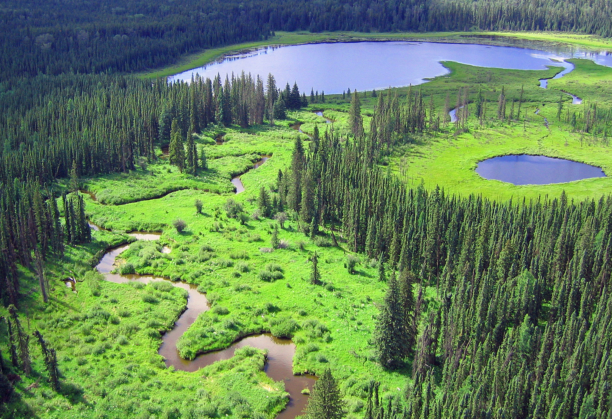
There is a need to define a common approach to wetland stewardship in the Yukon. The Policy for the stewardship of Yukon’s wetlands (“the policy”) represents the Government of Yukon’s approach to...
Resource
Vegetation workshop was held November 1979 to evaluate user needs for more detailed vegetation descriptions and maps and to review the results of the vegetation survey as a step towards meeting needs
Resource
Authors
Natalie Shelby-James
Sarah Thacker
Chris Powter
Paul Fuellbrandt
Tomislav Hengl
Leandro Parente
Objective is to work collaboratively with soil data users to develop the Alberta Background Soil Quality System (ABSQS) as a tool to assist industry and government in environmental management
Resource
The Natural Regions and Subregions classification represents the state-of-the-art in ecological land classification in Alberta. This classification provides a valuable baseline for resource management...
Resource
Authors
Aaron Sekerak
Gordon Walder
Maps showing fish collection locations, photos and details of the physical characteristics of nine streams within five watersheds (Firebag, Muskeg, Steepbank, MacKay, and Ells) in AOSERP study area
Resource
During 1978, a number of aquatic projects were funded by AOSERP using a habitat inventory and mapping approach.
Resource
Authors
M.S. Thompson
J. Crosby-Diewold
Relationship between aquatic macrophyte growth and habitat factors found in the AOSERP study area is outlined, as are some implications of aquatic macrophyte inventory for management and revegetation
Resource
A resource to improve understanding of wetlands in the Bow River region to promote conservation through protection and restoration. Wetlands are natural assets that have a vital role in climate change...
Resource
Authors
Lauren Thompson
McKenzie Kuhn
Johanna Winder
Lucas Braga
Ryan Hutchins
Andrew Tanentzap
Vincent St. Louis
David Olefeldt
Resource Date:
January
2023
Permafrost thaw may increase the production of neurotoxic methylmercury (MeHg) in northern peatlands, but the downstream delivery of MeHg is uncertain. We quantified total mercury (THg) and MeHg...
Resource
Authors
Jason Clark
Ken Tape
Latha Baskaran
Clayton Elder
Charles Miller
Kimberley Miner
Jonathan O'Donnell
Benjamin Jones
Beaver engineering in the Arctic tundra induces hydrologic and geomorphic changes that are favorable to methane (CH 4) production. Beaver-mediated methane emissions are driven by inundation of...
Resource
Resource Date:
January
2016
This presentation provides an overview of the Ducks Unlimited Canada Enhanced Wetland Classification System, including current and potential uses for wetland conservation and management.
Resource
Authors
Roger DeAbreu
Shane Patterson
Todd Shipman
Chris Powter
NRCan pilot science projects have proven that Earth Observation can provide relevant and valuable information to inform and enhance monitoring and support regulatory frameworks
Resource
Authors
M.D. Thompson
M.C. Wride
M.E. Kirby
Classification system devised for mapping vegetation and surficial geology from 1:60,000 scale false colour infrared photographs; 1:50 000 base maps plus a vegetation and a surficial geology overlay
Resource
Ground surveys of vegetation and surficial geology generally confirmed that the classification systems used in the mapping accurately described and defined the ecological habitat features
Resource
Authors
Terrance Power
Robert Cameron
Thomas Neily
Brad Toms
Resource Date:
April
2018
This resource is available on an external database and may require a paid subscription to access it. It is included on the CCLM to support our goal of capturing and sharing the breadth of all...
Resource
Authors
United Nations Environment Programme
Resource Date:
November
2022
Peatlands are unique and rare ecosystems that, despite only covering around 3-4% of the planet’s land surface, they contain up to one-third of the world’s soil carbon, which is twice the amount of...
Resource
Breeding bird studies using the mapping method were combined with intensive habitat quantification to determine the relative values to breeding avifauna of 21 habitat types
Resource
Authors
Larry Turchenek
J.D. Lindsay
The emphasis in this inventory is on soils and the landforms on which they occur; both are indicated on maps. Air photo interpretation and field checking have been completed
Resource
Authors
Sini-Selina Salko
Jussi Juola
Iuliia Burdun
Harri Vasander
Miina Rautiainen
Boreal peatlands store ~25 % of global soil organic carbon and host many endangered species; however, they face degradation due to climate change and anthropogenic drainage. In boreal peatlands...
Resource
Authors
Boreal Avian Modelling Project
Bioclimatic niche models of current avian distribution and density for 80 boreal-breeding songbird species are mapped based on present counts and climate change models