Land Management Search Results
News
Applications are now open for the First Nations Caribou Recovery Implementation Fund (FNCRIF). The FNCRIF was developed to reduce barriers for, and support participation by First Nations communities...
Resource
Authors
Marcus Becker
Dave Huggard
Melanie Dickie
Camille Warbington
Jim Schieck
Emily Herdman
Robert Serrouya
Stan Boutin
Estimating animal abundance and density are fundamental goals of many wildlife monitoring programs. Camera trapping has become an increasingly popular tool to achieve these monitoring goals due to...
Resource
Several insect species and groups of insects are examined for their potential as biological indicators in the AOSERP area.
Resource
The epilithic microbial and micro-invertebrate communities under conditions of light and shade were studied from April to November 1978
Resource
Authors
Aaron Sekerak
Gordon Walder
16-24 species of fish were found in each watershed. Forage fish (lake chub, pearl dace, longnose dace, trout-perch, brook stickleback, slimy sculpin) and white and longnose suckers were most abundant
Resource
Authors
Aaron Sekerak
Gordon Walder
Maps showing fish collection locations, photos and details of the physical characteristics of nine streams within five watersheds (Firebag, Muskeg, Steepbank, MacKay, and Ells) in AOSERP study area
Resource
Authors
Hal Hamilton
Ron Wallace
D. Westlake
Julia Foght
Barry Taylor
Steve Hrudey
Relationship between hydrocarbons present naturally, or introduced due to surface oil sands mining and upgrading activities, and their potential bioaccumulation and tainting of the commercial fishery
Resource
During 1978, a number of aquatic projects were funded by AOSERP using a habitat inventory and mapping approach.
Resource
Authors
T.W. Chamberlin
E.A. Harding
Philosophy and structure of aquatic system inventory as conducted by the BC Resource Analysis Branch. Additional topics included data management and examples of detailed interpretive projects
News
This atlas is an attempt to translate and consolidate the available knowledge on permafrost. It is a timely book suffused with the compelling enthusiasm of its authors and contributors. Close to a...
Resource
Authors
GRID-Arendal
Levi Westerveld
Tiina Kurvits
T. Schoolmeester
Oda Mulelid
Torjus Eckhoff
Pier Overduin
Michael Fritz
Hugues Lantuit
Björn Alfthan
A. Sinisalo
Frederieke Miesner
L.-K. Viitanen
NUNATARYUK Consortium
Resource Date:
October
2023
This atlas is an attempt to translate and consolidate the available knowledge on permafrost. It is a timely book suffused with the compelling enthusiasm of its authors and contributors. Close to a...
Resource
American Pika populations in Alberta will likely be capable of persisting throughout this century, although their survival will depend increasingly on successful vertical migration.
Resource
Goals of this investigation were to describe the present hydrologic and sediment regimes and to predict the consequences of surface disturbances which precede oil sands mining using runoff plots.
Resource
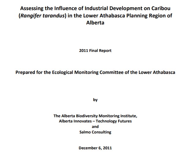
Authors
Alberta Biodiversity Monitoring Institute
Alberta Innovates - Technology Futures
Salmo Consulting
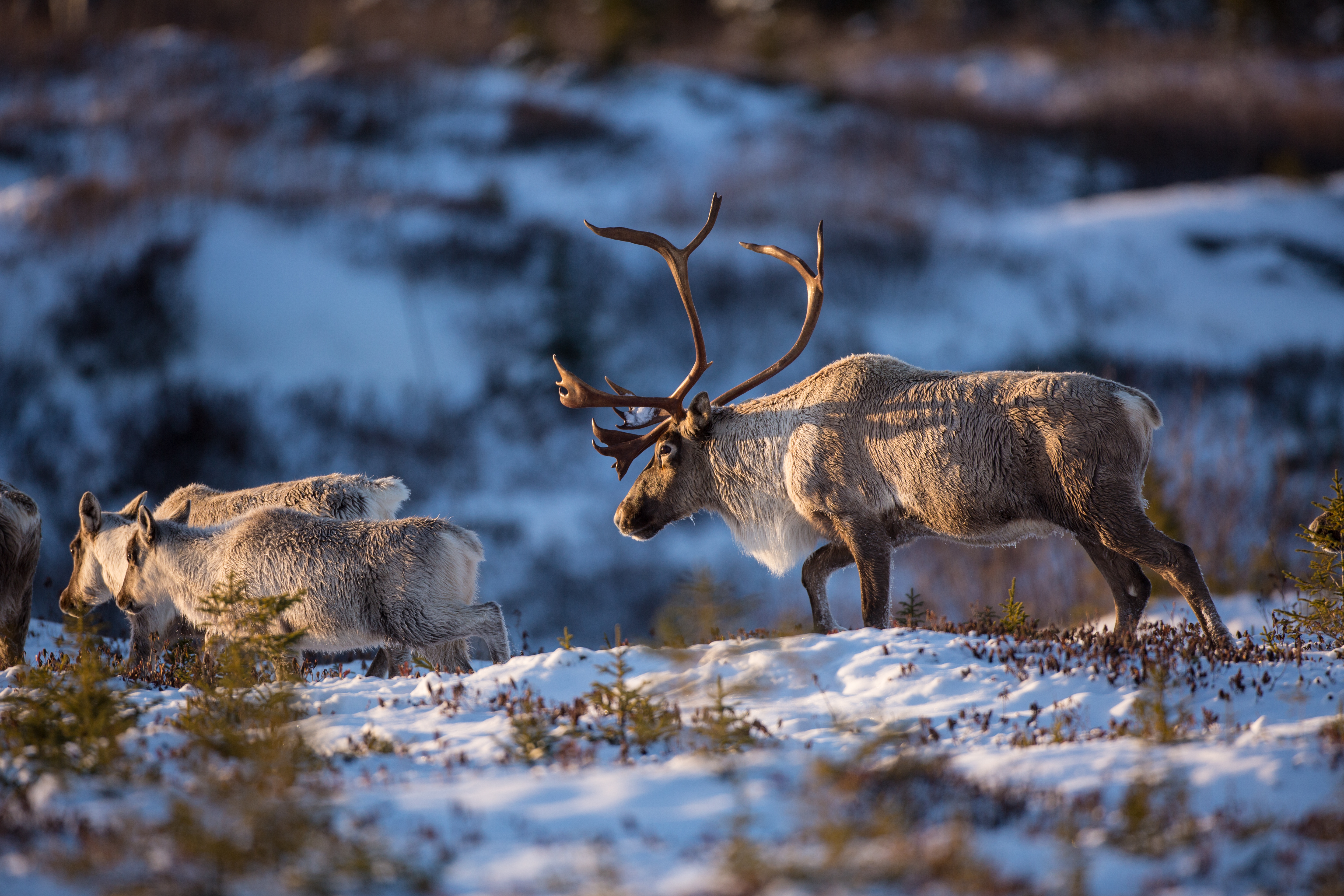
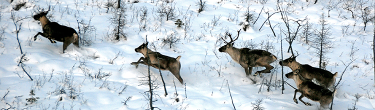
At current levels of industrial development, pipelines and linear features have a very small negative effect on caribou populations compared to the high levels of predation.
Resource
There is an existing gap in knowledge on the economic impacts of caribou recovery measures on forestry activities and non-renewable resource extraction. To address this knowledge gap, this project...
News
The Athabasca Chipewyan First Nation (ACFN) and Mikisew Cree First Nation (MCFN) recently launched a joint Tâdzié-Sagow Atihk (woodland caribou) Stewardship Plan. The plan outlines strategies to...
Resource
Authors
Alberta Forestry, Lands and Wildlife, Resource Planning Branch
To alleviate potential adverse effects on the environment from the proliferation of linear facilities, the multiple use corridor concept has been accepted by FLW as a feasible remedy
Resource
Authors
Rod Olson
Bruce Thompson
Henry Bertram
Roy Peters
Determine changes in the input rate of atmospheric trace substances into sensitive ecosystems and provide a database for the documentation of variations in chemical characteristics of precipitation
Resource
This report identifies historical, annual and open water, low flow sequences for 13 stations in the Athabasca River Basin which can be used to determine management guidelines for the River basin
Resource
Monthly flows are provided for the period 1912 to 1980 at 21 locations on the Athabasca River and its major tributaries. The flow data sets are suitable for water management planning