Land Management Search Results
Resource
Authors
Alberta Biodiversity Monitoring Institute
Seismic lines and other linear features created by humans are thought to negatively impact woodland caribou. It is estimated that there are c. 100,000 km of conventional seismic lines in caribou...
Resource
Authors
Alberta Biodiversity Monitoring Institute
Resource Date:
January
2020
Linear features, including seismic lines, pipelines, transmission lines, roads, railways, and trails are pervasive in Alberta’s boreal forest and have been implicated as a primary factor leading to...
Resource
Authors
Mar Martinez
Gary Borstad
Leslie Brown
Kaan Ersahin
Michael Henley
Monitoring of reclaimed sites is a complex, interdisciplinary undertaking, especially in large, disturbed areas with difficult access. In that context, remote sensing is a unique and valuable tool...
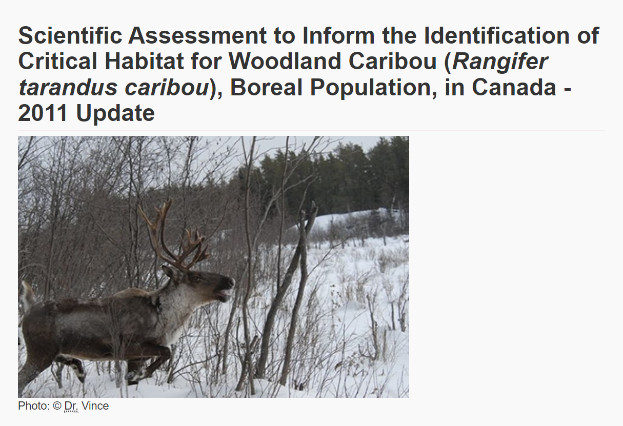
Resource
Authors
Environment and Climate Change Canada
The Woodland Caribou ( Rangifer tarandus caribou), Boreal Population was last assessed by the Committee on the Status of Endangered Wildlife in Canada as Threatened (COSEWIC 2002), and listed under...
Resource
Authors
Thaís Abib
Laura Chasmer
Chris Hopkinson
Craig Mahoney
Luiz Carlos Estraviz Rodriguez
Resource Date:
March
2019
This resource is available on an external database and may require a paid subscription to access it. It is included on the CCLM to support our goal of capturing and sharing the breadth of all...
Resource
This thesis investigates the effectiveness of machine learning algorithms for automatic detection of coniferous seedling data along Boreal seismic lines. In order to obtain a survival assessment and...
Resource
Authors
Anne Naeth
Donna White
David Chanasyk
Terry Macyk
Chris Powter
Don Thacker
To provide coordinated direction for reclamation research in Alberta, the need to review the current understanding and the role of soil physical properties in soil disturbance related activities was...
Resource
Authors
Pedocan Land Evaluation Ltd.
Part 1 of this manual is a background and explanatory section that describes the terminology used in soil surveys and presents the assumptions and conventions upon which the interpretations are based
Resource
Authors
Pedocan Land Evaluation Ltd.
Part 2 presents typical data and interpretations for each soil series in Alberta. The interpretations were made by applying the guidelines in Part 1, and checking the results against experience
Resource
Authors
David Olefeldt
Mikael Hovemyr
McKenzie Kuhn
David Bastviken
Theodore Bohn
John Connolly
Patrick Crill
Eugénie Euskirchen
Sarah Finkelstein
Hélène Genet
Guido Grosse
Lorna Harris
Liam Heffernan
Manuel Helbig
Gustaf Hugelius
Ryan Hutchins
Sari Juutinen
Mark Lara
Avni Malhotra
Kristen Manies
David McGuire
Susan Natali
Jonathan O'Donnell
Frans-Jan Parmentier
Aleksi Räsänen
Christina Schädel
Oliver Sonnentag
Maria Strack
Suzanne Tank
Claire Treat
Ruth Varner
Tarmo Virtanen
Rebecca Warren
Jennifer Watts
Here we present the Boreal–Arctic Wetland and Lake Dataset (BAWLD), a land cover dataset based on an expert assessment, extrapolated using random forest modelling from available spatial datasets of...
Resource
Authors
Karine Pigeon
Meghan Anderson
Doug MacNearney
Jerome Cranston
Gordon Stenhouse
Laura Finnegan
This resource is available on an external database and may require a paid subscription to access it. It is included on the CCLM to support our goal of capturing and sharing the breadth of all...
Resource
Authors
Stephanie Bascu
Christopher Spence
Wetlands that occupy topographic depressions are a defining feature of the Canadian Prairie. These features control hydrological connectivity as they contain high storage capacity relative to...
Resource
The presentation describes how multi-temporal remote sensing offers a better understanding of landscape changes over time in comparison to the more traditional two-date, before and after comparison.
Resource
Resource Date:
March
2021
Rapid functional assessment tools like WESP (Wetland Ecosystem Services Protocol) give the ability to quantify several wetland functions and benefits, such as water storage, carbon sequestration and...
Resource
Resource Date:
September
2023
Recovery and Resistance: Restoring the wetland plant community after invasive reed control Presenter: Dr. Rebecca Rooney, University of Waterloo For established invasions, like European common reed...
Resource
Ducks Unlimited Canada (DUC) has been leading the effort to provide detailed and accurate wetland maps for large areas of the western boreal forest. To date, nearly 200 million acres of wetlands from...
Resource
Authors
Wetland Knowledge Exchange
Resource Date:
February
2023
The Wetland Knowledge Exchange releases monthly newsletters that highlight new research, publications, news, interesting facts, events and more. In this edition you will learn about: The role of...
Resource
Authors
Wetland Knowledge Exchange
Resource Date:
January
2023
The Wetland Knowledge Exchange releases monthly newsletters that highlight new research, publications, news, interesting facts, events and more. In this edition you will learn about: How wetlands...
Resource
Authors
Wetland Knowledge Exchange
The Wetland Knowledge Exchange releases monthly newsletters that highlight new research, publications, news, interesting facts, events and more. In this edition you will learn about: International bog...
Resource
The Wetland Knowledge Exchange releases monthly newsletters that highlight new research, publications, news, interesting facts, events and more. In our June issue of the Wetland Knowledge Exchange...