Boreal Caribou Search Results
Resource
Authors
K.C. Mackenzie Associates Limited
General purpose of this report is to examine various constraints, resulting from human settlement patterns, which will affect the selection of a route for the proposed oil sands pipeline corridor.
Resource
Authors
Robert Serrouya
Melanie Dickie
Clayton Lamb
Harry van Oort
Allicia Kelly
Craig DeMars
Philip McLoughlin
Nicholas Larter
Dave Hervieux
Adam Ford
Stan Boutin
Resource Date:
January
2021
Conservation actions directed at the proximate cause of caribou decline have been more successful in the near term than those directed further along the trophic chain.
Resource
Authors
Kim Chapman
Rob Fleming
Nelson Thiffault
Daniel Gouge
Gordon Kayahara
Dave Morris
Wayne Bell
We present an ecological framework for classifying sites to support vegetation management decisions in the boreal and northern temperate forests of northeastern Ontario and northwestern Quebec. This...
Resource
Authors
Amy Nixon
Christopher Shank
Dan Farr
The Biodiversity Management and Climate Change Adaptation project has produced a comprehensive, evidence-based, and original examination of the effects of climate change on Alberta’s biodiversity
Resource
Authors
Katherine Dearborn
Jennifer Baltzer
Resource Date:
March
2021
This resource is available on an external database and may require a paid subscription to access it. It is included on the CCLM to support our goal of capturing and sharing the breadth of all...
Resource
Authors
William Wadsworth
Ave Dersch
Robin Woywitka
Kisha Supernant
The Athabasca Oil Sands (AOS) region of Alberta has one of the densest accumulations of known archaeological sites, and possibly the most archaeological sites at risk, in the country. Expanding...
Resource
Authors
Emma Bocking
David Cooper
Johnathan Price
Resource Date:
November
2017
This resource is available on an external database and may require a paid subscription to access it. It is included on the CCLM to support our goal of capturing and sharing the breadth of all...
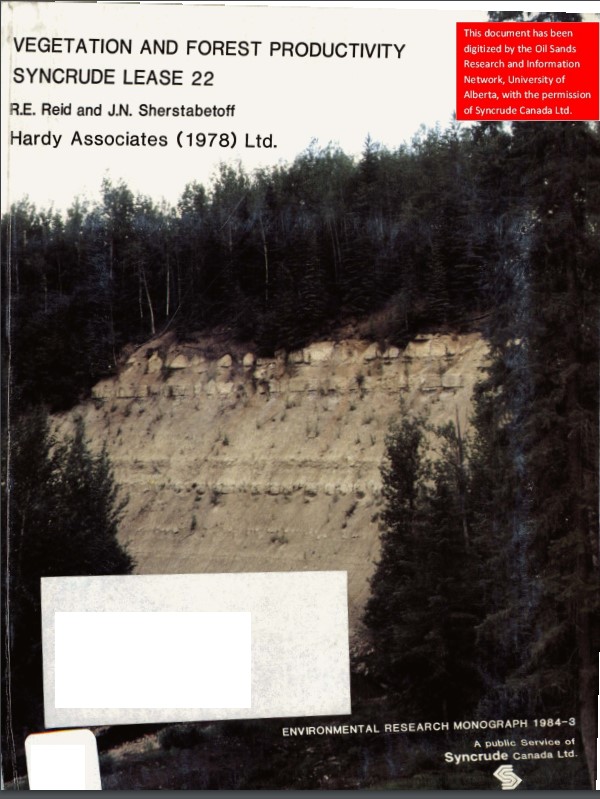
Resource
Authors
Dave Reid
Jim Sherstabetoff
Eleven major vegetation types were identified and are mapped at a scale of 1:20 000 on the eastern portion of Syncrude Lease 17.
Resource
Mountain valley bottom peatlands are poorly studied systems, particularly in Alberta, Canada, where the provincial inventory has neither mapped nor characterized them. Nonetheless, these ecosystems...
Resource
Review of provides basis for evaluating the current progress regarding vegetation descriptions in this area and for designing certain future vegetation studies.
Resource
Authors
Everett Peterson
Allan Levinsohn
Black Spruce - Labrador Tea was the dominant vegetation type, making up 35.0% of the 9,250 ha study area. The 2nd most abundant type was Aspen - White Spruce (26.0%) and the 3rd was White Spruce – Asp
Resource
Authors
Jack Mercer
Robert Charlton
Imagery from both meteorological and environmental satellite sensor systems was analyzed to determine its applicability in monitoring weather conditions at the Alberta oil sands.
Resource
The presentation describes the development and content of the draft Biodiversity Management Framework for the Lower Athabasca Region
Resource
As a consequence of climate change, current landscape patterns are unlikely to persist in the future. The types of ecological changes expected to occur as the climate warms are described
Resource
The various applications of Ducks Unlimited Canada’s wetland inventories play a critical role in wetland conservation. They serve as key planning tools, helping people who live and work in the boreal...
Resource
The presentation covers the use of remote sensing in assessing biodiversity and how using covariate data can improve on the interpretation of results
Resource
The presentation describes the purpose and development of a water purification model that can be used to help decision-makers evaluate tradeoffs for land use development proposals
Resource
In order to protect boreal wetlands, we must first know where they are. This 6-minute video will show you how Ducks Unlimited Canada uses satellite data and remote sensing techniques to map wetlands...
Resource
ABMI is working with the Government of Alberta to develop new methods to estimate caribou numbers, a species that is notoriously hard to count because of their rarity and association with dense forest
Resource
Authors
Alex Lanki-Traikovski
Michelle Knaggs
Climate refugia are areas where the impacts of climate change may be slower to materialize, providing either permanent or temporary areas of existing habitat that are more likely to persist than...