Boreal Caribou Search Results
Resource
Authors
Ronnie Drever
Maria Strack
Kristy Burke
Learn more about the recent work of two renowned Canadian researchers and how their work has benefited from various collaborations and communication across diverse stakeholder groups
Resource
Resource Date:
January
2016
The Cenovus LiDea project tests the idea that active restoration using silviculture may resolve arrested succession and address the basic mechanisms that lead to caribou decline.
Resource
Authors
Bonnie Drozdowski
Chris Powter
Heather Tokay
Dean MacKenzie
Bin Xu
Workshop summary of discussions to inform a path forward for a policy framework that provided clarity on the process to request a change in land use and the criteria for evaluating the requests.
Resource
Authors
Bonnie Drozdowski
Chris Powter
Heather Tokay
Dean MacKenzie
Kevin Renkema
Bin Xu
Factors to consider when assessing the ecological implications of a change in land use request (hydrology, cumulative effects and regional considerations, upland function, status of the borrow pit ...
Resource
Authors
Chris Powter
Bin Xu
Kevin Renkema
Natalie Shelby-James
Bonnie Drozdowski
This 2022 Update is a revision of the original Decision Framework and Support Tools report based on stakeholder feedback and a field verification trial.
Resource
Authors
Chris Powter
Natalie Shelby-James
Bin Xu
Kevin Renkema
Results of a stakeholder review of the draft Certification of Mineral Soil Pads in the Boreal Region – Decision Framework and Support Tools report and a field verification trial by practitioners.
Resource
Authors
Piotr Tompalski
Joseph Rakofsky
Nicholas Coops
Joanne White
Alexander Graham
Kyle Rosychuk
Airborne laser scanning (ALS) and digital aerial photogrammetry (DAP) have both been demonstrated as reliable sources of information on forest stand inventory attributes. The increasing availability...
Resource
Authors
Paul Pickell
David Andison
Nicholas Coops
This resource is available on an external database and may require a paid subscription to access it. It is included on the CCLM to support our goal of capturing and sharing the breadth of all...
Resource
This thesis is comprising two studies characterizing nutrient dynamics within the Athabasca Oil Sands region (AOS) of Alberta. The first study simultaneously examined and compared nutrient (nitrogen...
Resource
Authors
D.W. Mayhood
Linda Corkum
Baseline data available on the Muskeg River hydrology, benthic invertebrates, plankton and fish are generally useful, but additional information is desireable
Resource
Authors
D.W. Mayhood
Gerry Walder
Tom Dickson
R.B. Green
Dave Reid
R. Strushnoff
Studies intended to both monitor the effects of Alsands' muskeg drainage on aquatic habitats and terrestrial vegetation, and to form the basis of a long-term aquatic habitat monitoring program
Resource
The present volume evaluates the 1980 monitoring program, and makes suggestions for the conduct of future monitoring studies on the Muskeg River and elsewhere in the AOSERP area
Resource
Authors
Kimberly Dawe
Stan Boutin
Quantifying the relative influence of multiple mechanisms driving recent range expansion of non-native species is essential for predicting future changes and for informing adaptation and management...
Resource
Authors
Christopher Shank
Amy Nixon
This report provides a broad overview of how Alberta species are likely to be affected by climate change by the 2050s. Amphibians were consistently found to be the most vulnerable to climate change
Resource
Authors
Brad Pinno
Amanda Schoonmaker
Çağdaş Kera Yücel
Robert Albricht
Abstract: Planting trees is an important step in re-establishing functioning forest ecosystems after industrial land disturbances. Conventional planting practices create forests with evenly spaced...
Resource
Authors
Alberta Environment and Parks
This code of practice regulates wetland restoration and wetland construction activities as defined in the Code by replacing Water Act approval requirements. Wetland restoration is applied to wetlands...
Resource
Authors
Alberta Biodiversity Monitoring Institute
We collected high-resolution aerial imagery and associated ground-truthed data from four sampling blocks in two caribou ranges to assess human footprint accuracy and state of vegetation recovery.
Resource
Authors
Chris Powter
Brent Scorfield
Brent Lakeman
Shane Patterson
The development of integrated geomatics and remote sensing technologies for environmental management holds promise to meet economic diversification and effective environmental management.
Resource
Authors
Evan DeLancey
John Simms
Masoud Mahdianpari
Brian Brisco
Craig Mahoney
Jahan Kariyeva
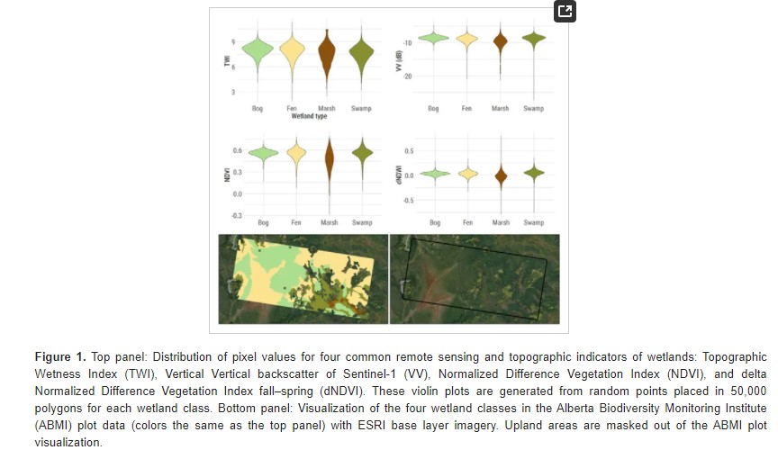
Developed two wetland inventory style products for a large (397,958 km2) area in the Boreal Forest region of Alberta, Canada, using Sentinel-1, Sentinel-2, and ALOS DEM data
Resource
Authors
Bev Gingras
Cynthia Paszkowski
Garry Scrimgeour
Sharon Kendall
Objective was to compare the effectiveness of four commonly used sampling techniques (pitfall traps, funnel traps, visual searches and call surveys) to detect stream amphibian communities.