Boreal Caribou Search Results
Resource
This report is a survey of remote sensing technology and its applicability to the environmental study needs of the tar sands area and includes examples of surveys that have already been completed
Resource
Authors
James Ryan
Gerald Hilchie
Members of 261 insect families were found in the study area, of which 220 were collected in this survey. Damage surveys showed great variation in the rates of insect attack on dominant plant species
Resource
Authors
Howard Baldwin
Bryant Bidgood
Design techniques are presented for a very high frequency telemetry system capable of transmitting short radio frequency pulse signals from the body of a fish to an aircraft flying over a river.
Resource
Diesel invert wastes are one of the more difficult types of drilling mud wastes to dispose of due to the presence of hydrocarbons and salts. In 1989 a joint research program funded by the Alberta...
Resource
Authors
Tim Jantzie
Leigh Noton
Neil Chymko
Study was designed to investigate the survival of selected organisms in Beaver Creek Reservoir during 1979 following discharge of mine depressurization water from the mining area into the Reservoir
Resource
Provides recommendations based on the field survey and ground checking, for developing methodologies to enhance the detail on 1:50 000 vegetation maps (preliminary vegetation community classification)
Resource
Authors
Calvin Sikstrom
John Martin
Effects of stream diversions on aquatic life, natural recovery of stream ecosystems from the effects of diversion, effectiveness of habitat restoration/enhancement techniques, and potential biomonitor
Resource
Authors
Alberta Environmental Protection, Technical Services and Monitoring Division
Study was undertaken in response to concerns raised by the City of Fort McMurray over the validity of the elevation established in previous studies as representing the 1 in 100 year design flood level
Resource
Purpose of this project was to document existing hydrogeological data, identify areas of concern and to outline a plan for monitoring changes in groundwater flow or quality.
Resource
Authors
D.A. Westworth & Associates
Brief review of the principal habitat units present on the Syncrude lease prior to development supported by a review of pertinent references
Resource
Authors
Steve Hrudey
Richard Nelson
The literature on tainting of fish by petroleum-derived compounds has been reviewed for information specifically relevant to the potential for tainting of fish in the Athabasca River
Resource
Authors
F.F. Gilbert
S.A. Brown
M.E. Stoll
Annotated bibliography contains 776 entries grouped under the species: muskrat, beaver, mink, and otter
Resource
Authors
Peter C. Nichols & Associates Ltd.
Population growth in Fort McMurray (from 1200 people to 25,000) necessitated the institution and continuous expansion of a service delivery system, including urban infrastructure and social services
Resource
Authors
Strong Hall & Associates Ltd.
Five alternative socio-economic impact assessment programs were evaluated from the viewpoint of their value for planning.
Resource
Authors
Karen Cannon
Sandra Landsburg
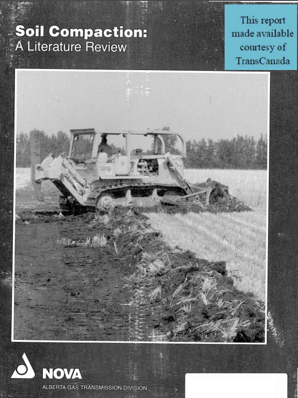
Concerns about soil compaction on pipeline rights-of-way have increased with the introduction of heavier, more powerful construction equipment
Resource
Authors
Anne Naeth
Donna White
David Chanasyk
Terry Macyk
Chris Powter
Don Thacker
To provide coordinated direction for reclamation research in Alberta, the need to review the current understanding and the role of soil physical properties in soil disturbance related activities was...
Resource
Physical properties of soils and mined materials in relation to reclamation; Chemical properties of soils and methods of improving mined material for plant growth; Sulphur deposition and acidification
Resource
Authors
Len Knapik
Katherine Bessie
E. Richardson
Soil patterns in the area are generally quite simple, with large homogeneous soil units. The major criteria for differentiating soils are parent material and drainage conditions.
Resource
Soils were inspected and described at 413 sites. Soils of the Luvisolic, Brunisolic, Gleysolic, Cryosolic and Organic Orders were recognized and characterized. depth of peat is
Resource
Authors
Larry Turchenek
J.D. Lindsay
Recurring patterns of soils, landforms, and vegetation were delineated. The information was transferred first to 1:50,000 preliminary maps and then to eight 1:126,720 maps which accompany this report