Boreal Caribou Search Results
Resource
Authors
Amy Nixon
Christopher Shank
Dan Farr
The Biodiversity Management and Climate Change Adaptation project has produced a comprehensive, evidence-based, and original examination of the effects of climate change on Alberta’s biodiversity
Resource
Authors
L.M. Hachey
Audrey Lanoue
The focus of this paper is the development of a physically sound three-dimensional model of the final closure landscape for the 2011 Life of Mine Closure submission
Resource
Authors
Antoine Karam
Louis Azzaria
Les résidus miniers utilisés dans la présente étude proviennent de douze sites d'échantillonnage couvrant l'ensemble du parc à résidus miniers East Sullivan. Ces échantillons ont été intimement...
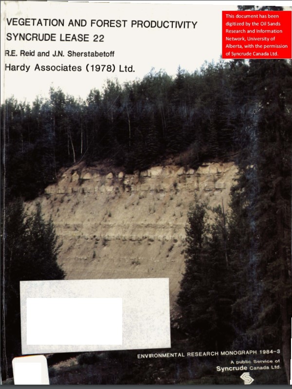
Resource
Authors
Dave Reid
Jim Sherstabetoff
Eleven major vegetation types were identified and are mapped at a scale of 1:20 000 on the eastern portion of Syncrude Lease 17.
Resource
This guidebook explains vegetation management tools and techniques. Natural Resources Canada Canadian Forest Service (NRCan-CFS) developed this guidebook to help with the successional restoration of...
Resource
Review of provides basis for evaluating the current progress regarding vegetation descriptions in this area and for designing certain future vegetation studies.
Resource
Authors
Everett Peterson
Allan Levinsohn
Black Spruce - Labrador Tea was the dominant vegetation type, making up 35.0% of the 9,250 ha study area. The 2nd most abundant type was Aspen - White Spruce (26.0%) and the 3rd was White Spruce – Asp
Resource
Authors
K.A. Baldwin
Lorna Allen
S. Basquill
K. Chapman
D. Downing
N. Flynn
W. Mackenzie
M. Major
W.J. Meades
D. Meidinger
C. Morneau
J.-P. Saucier
J. Thorpe
Vegetation Zones of Canada: a Biogeoclimatic Perspective maps Canadian geography in relation to regional climate, as indicated by vegetation patterns. Compared to previous similar national-scale...
Resource
Field data on the abundance (or percent cover) of vascular plants, bryophytes, and soil mesofauna were obtained in the summer of 2008 and 2009 from nine produced water release sites in Alberta and...
Resource
Authors
Jack Mercer
Robert Charlton
Imagery from both meteorological and environmental satellite sensor systems was analyzed to determine its applicability in monitoring weather conditions at the Alberta oil sands.
Resource
Authors
M. Johnston
M. Campagna
P. Gray
H. Kope
J. Loo
A. Ogden
G.A. O’Neill
D. Price
T. Williamson
Over the next several decades, the climate in Canadian forests will shift northward at a rate that will likely exceed the ability of individual tree species to migrate. While most tree species can...
Resource
Authors
J. Kristensen
B.S. Ott
A.D. Sekerak
Baseline information on walleye and goldeye populations with respect to the “before conditions” faced by the Athabasca Delta fisheries in view of the present and increased oil sands development
Resource
Time spent foraging on 18 different plant species was estimated for 4 wapiti during winter (February 14-27), spring (June 12-18) and late summer (August 2O-September 2). Creeping red fescue and hard...
Resource
Authors
Ray Chopiuk
S.E. Thornton
Several foothills/mountain coal mine waste dumps were selected for the purpose of evaluating the effects of final configuration on the amount of surface erosion occurring on those dump surfaces
Resource
Authors
Geb Raygorodetsky
Cheryl Chetkiewicz
Ontario’s Far North is one of the world’s largest and most intact expanses of boreal forest and wetlands. The region has almost no industrial development today, but that could change with plans for...
Resource
Ten sites in the system were sampled regularly for physical-chemical parameters, phytoplankton, zooplankton and benthic macroinvertebrates. Additional surveys were done for fish, aquatic macrophytes,
Resource
Summarize water quality constituents in the AOSERP study area and to examine relationships between these constituents and changes in land formation, hydrology, and development
Resource
Locations of Athabasca Oil Sands area water quality sampling sites; sampling, analytical and quality control methods used; volume and availability of assembled data; and an appraisal of data quality
Resource
Authors
Mark Akena
Lynne Christian
Studies of the water quality of the Athabasca Oil Sands area streams, rivers, and lakes have been conducted by numerous organizations and government agencies since the 1950’s
Resource
Authors
Hal Hamilton
M.V. Thompson
Linda Corkum
Report overviews major water quality patterns and trends for the Athabasca River and its major tributaries from 1970 to 1985 and compares water quality data with surface water quality objectives