Environment and Climate Change Canada (ECCC) proudly announces the release of the "2020 - Anthropogenic disturbance footprint within boreal caribou ranges across Canada - As interpreted from 2020 Landsat satellite imagery". As part of the scientific assessment of critical habitat for boreal caribou, ECCC has undertaken detailed anthropogenic disturbance mapping across known caribou ranges, every 5 years as of 2010 (data available for 2010, 2015 and now 2020).
This GIS dataset provides researchers, land managers and policy makers with a national representation of anthropogenic disturbance across the boreal caribou ranges to support boreal caribou conservation and recovery. Standardized methodology allows users to compare the 2020 anthropogenic disturbance footprint to the footprint measured in 2015 and 2010.
To access the data and associated supplementary resources visit the Open Government Portal here.
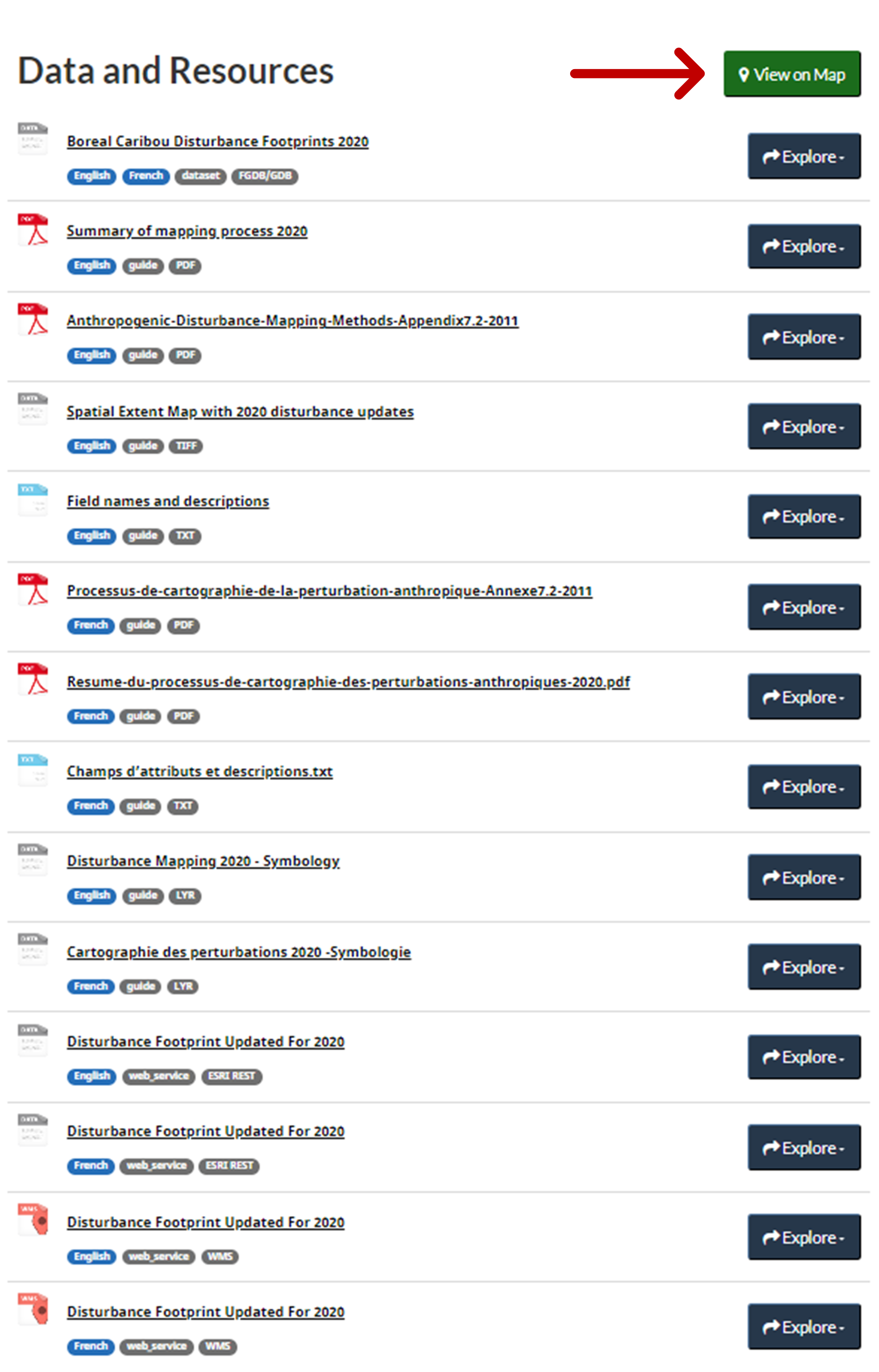
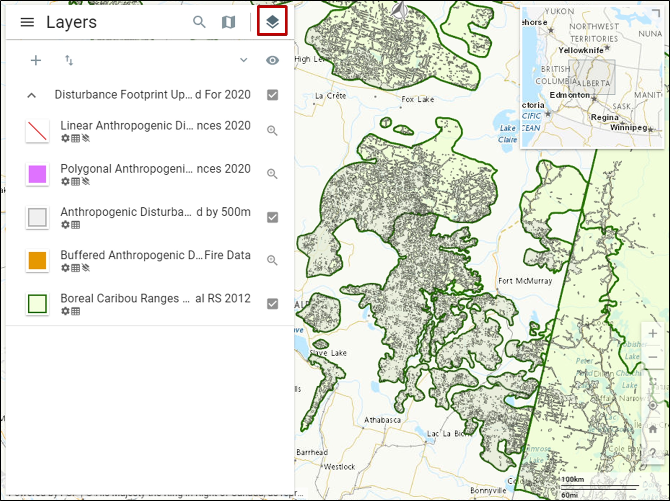
QUICK TIP: To quickly view the data, click on the "View on Map" button and zoom in to your area of interest. Map layers can then be toggled on and off using the "layers" button (see images below with buttons highlighted in red).