
Satellite Observation of Regional Cumulative Effects on Wildlife Habitats (SORCE)
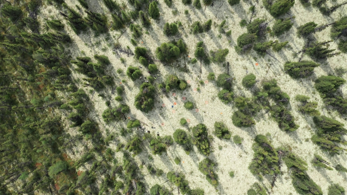
This project is a part of the Government of Canada’s initiative for monitoring and assessing regional cumulative effects, a recently added requirement to the new Impact Assessment Act (2019). Among various “valued components” to be assessed, caribou stand out as one of the top priorities because of their importance to the economy, culture, and way of life for indigenous peoples. Previous caribou dietary studies indicate that lichens are the most important food for woodland caribou, especially during the winter and fall. Yet, despite many effects over the years, information on lichen distribution within the various caribou ranges of Canada remains unreliable or unavailable. To fill the information gap, this project aims to map and detect temporal and spatial changes in lichen distribution for selected caribou ranges in Canada. This is a joint effort by scientists from the Canada Centre for Remote Sensing, the Canadian Forest Service, Environment and Climate Change Canada, provincial/territorial governments, and other partners. Landsat imagery has been widely used by previous researchers to generate lichen distribution maps with low reported accuracies. The main challenge for producing lichen maps from this moderate (30m) resolution sensor is the mixture of lichen with other land cover types (e.g., trees, rocks, shrubs, etc.) within the 30m pixel size. To address this, we are designing and testing a new scaling-up approach. We start with sub-millimeter resolution plot photos and scale them up using centimeter resolution UAV data, half-meter resolution Worldview satellite data, and finally to the 30-m Landsat imagery. In this way, we expect to substantially increase the size of our “ground truth” database, and improve the overall accuracy of lichen distribution and change maps that we generate from this data. In addition, we will develop innovative approaches for mapping lichen cover (abundance) and biomass, and producing related change detection products using cutting-edge technology (e.g., artificial intelligence, big data analytics).
Intended Project Outcomes: